Rochford
Rochford/26/00679/TPO
2 Hogarth Way, Rochford, Essex, SS4 3JY
- Reference
- Rochford/26/00679/TPO
- Authority
- Rochford
- Application type
- Tree Preservation Order
- Address
- 2 Hogarth Way, Rochford, Essex, SS4 3JY
- Postcode
- SS4 3JY
- Status
- Pending Consideration
- Received
- 21 Sept 2026
- Started
- 21 Sept 2026
- Source council
- Rochford
- Council source record
- View public record
- Public data licence
- Open Government Licence v3.0
- Record updated
- 29 Sept 2026
- SEO index generated
- 7 Oct 2026
Location
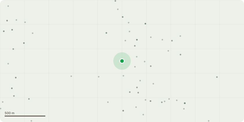
Approximate location
Proposal
T5 ? Hornbeam (Carpinus betulus) ? TPO 03/90Fell and remove T5 Hornbeam.The tree has increased substantially in height, canopy spread and density relative to the constrained front-garden space. The canopy is approximately 4.7m across and, at its closest point, extends to approximately 2.4m from the front elevation of the property. It extends over the driveway and pedestrian access and its increasing height, spread and density have reduced natural light reaching the front-facing lounge and bedroom, which are principal living spaces within the property.The application is not based on concerns regarding the health or structural condition of the tree, but on its increasing scale, continued growth potential and long-term relationship with the available front-garden space.The Council's suggestion of raising the crown to 1.5m and thinning the crown by 10% has been considered. While this would provide some short-term management of the existing canopy, it would not address the longer-term issue of the tree's scale and continued growth within the constrained frontage. For this reason, removal is considered a more appropriate long-term solution.I am willing to plant one suitable smaller-growing replacement tree within the front garden. Given the constrained nature of the frontage, I would welcome the opportunity to agree the appropriate species, planting position and size with the Local Planning Authority to ensure the replacement is suitable for the location.Please refer to the accompanying Supporting Evidence document and site plan for further information.
Key dates
- Received 21 Sept 2026
- Started 21 Sept 2026
Planning history / related applications
No related planning applications have been identified in the current public OGL dataset.
Inside plotEdge
Go beyond the public record
This page is the public OGL record. plotEdge adds the private intelligence layer for this site - open it in the app to unlock:
- Ownership & title Registered owner and title from HM Land Registry.
- Viability & build potential Site scoring and development upside.
- Constraints Flood risk, green belt, conservation areas and designations.
- Approval signal Planning risk and approval-likelihood analysis.
- Comparable applications Decisions on similar nearby sites, side by side.
- Status alerts Get notified the moment this application changes.
Source: public planning application data from Rochford, reused under the Open Government Licence v3.0. View the council source record. Council documents and drawings are not republished on plotEdge.