Rochford
Rochford/26/00527/TPO
23 High Road, Rayleigh, Essex, SS6 7SA
- Reference
- Rochford/26/00527/TPO
- Authority
- Rochford
- Application type
- Tree Preservation Order
- Address
- 23 High Road, Rayleigh, Essex, SS6 7SA
- Postcode
- SS6 7SA
- Status
- Pending Consideration
- Received
- 22 Jul 2026
- Started
- 22 Jul 2026
- Source council
- Rochford
- Council source record
- View public record
- Public data licence
- Open Government Licence v3.0
- Record updated
- 30 Jul 2026
- SEO index generated
- 4 Aug 2026
Location
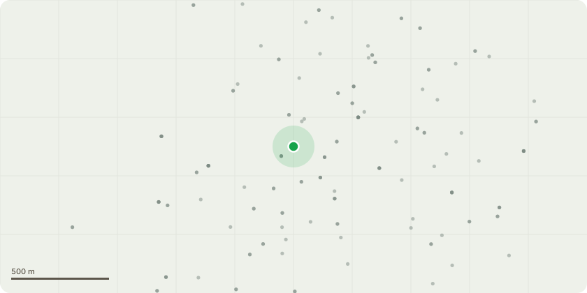
Approximate location
Proposal
Lime trees at front of property 23 and 25 high road Rayleigh 23/ T1-T2 pollard back to old cuts 2-3m of foliage will be removed to reach this 25/ T3-T4 hard reduction around 1.5-2m back to a suitable growth point and crown thinning These trees are very large for the space they are in and casting a large shadow over the property?s meaning there is no natural light in there homes and an increase in heating bills due to no natural heat from the sun they are also reporting that peaces of dead wood are falling and being next to a footpath and crossing there are worried it could cause harm to themselves or the public they would like the works completed to keep them at a more manageable size as they are a fast growing tree in a small area They also interfering with there over head phone and internet lines as branches are pushing on the wires they could become damaged they could be left with no internet connection or phone lines
Key dates
- Received 22 Jul 2026
- Started 22 Jul 2026
Planning history / related applications
No related planning applications have been identified in the current public OGL dataset.
Inside plotEdge
Go beyond the public record
This page is the public OGL record. plotEdge adds the private intelligence layer for this site - open it in the app to unlock:
- Ownership & title Registered owner and title from HM Land Registry.
- Viability & build potential Site scoring and development upside.
- Constraints Flood risk, green belt, conservation areas and designations.
- Approval signal Planning risk and approval-likelihood analysis.
- Comparable applications Decisions on similar nearby sites, side by side.
- Status alerts Get notified the moment this application changes.
Source: public planning application data from Rochford, reused under the Open Government Licence v3.0. View the council source record. Council documents and drawings are not republished on plotEdge.