Richmond upon Thames
Richmond upon Thames/PA26/3450
1 - 65 Thames Close TW12 2ET
- Reference
- Richmond upon Thames/PA26/3450
- Authority
- Richmond upon Thames
- Application type
- Works to Trees Under TPO
- Address
- 1 - 65 Thames Close TW12 2ET
- Postcode
- TW12 2ET
- Status
- Registered
- Received
- 9 Oct 2026
- Validated
- 16 Oct 2026
- Started
- 16 Oct 2026
- Source council
- Richmond upon Thames
- Council source record
- View public record
- Public data licence
- Open Government Licence v3.0
- Record updated
- 17 Oct 2026
- SEO index generated
- 18 Oct 2026
Location
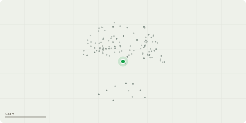
Approximate location
Proposal
T1 Lime tree located directly adjacent to no 29 with cavity located on the main stem at appox 4 metres. the tree is within 2 metres of the property and has been pollarded in the past but is still a major cause for concern following another large decayed Lime tree failing onto no 29 causing significant damage to the roof. Fell, stump grind and replant a more suitable species a bit further from the property. T2 Lime tree located adjacent to T1 leaning over the main footpath for resisdents, this tree has Gonoderma at the base and has been monitored for 5 plus years. the tree was also pollarded significantly in recent years but all residents have agreed that due to the basal decay and lack of amenity value of both trees they would rather fell and replant a more suitable species. T3 Eucalyptus tree, reduce back to previous points, current height 10m, final height 8 metres, current spread 10 metres, final spread 6 metres.
Key dates
- Received 9 Oct 2026
- Validated 16 Oct 2026
- Started 16 Oct 2026
Planning history / related applications
No related planning applications have been identified in the current public OGL dataset.
Inside plotEdge
Go beyond the public record
This page is the public OGL record. plotEdge adds the private intelligence layer for this site - open it in the app to unlock:
- Ownership & title Registered owner and title from HM Land Registry.
- Viability & build potential Site scoring and development upside.
- Constraints Flood risk, green belt, conservation areas and designations.
- Approval signal Planning risk and approval-likelihood analysis.
- Comparable applications Decisions on similar nearby sites, side by side.
- Status alerts Get notified the moment this application changes.
Source: public planning application data from Richmond upon Thames, reused under the Open Government Licence v3.0. View the council source record. Council documents and drawings are not republished on plotEdge.