Richmond upon Thames
Richmond upon Thames/PA26/3428
Flat 1 Sycamore House 5 Langdon Park Teddington TW11 9PE
- Reference
- Richmond upon Thames/PA26/3428
- Authority
- Richmond upon Thames
- Application type
- Works to Tree/s in Conservation Area
- Address
- Flat 1 Sycamore House 5 Langdon Park Teddington TW11 9PE
- Postcode
- TW11 9PE
- Status
- Recommendation under review
- Received
- 6 Oct 2026
- Validated
- 14 Oct 2026
- Started
- 14 Oct 2026
- Source council
- Richmond upon Thames
- Council source record
- View public record
- Public data licence
- Open Government Licence v3.0
- Record updated
- 15 Oct 2026
- SEO index generated
- 16 Oct 2026
Location
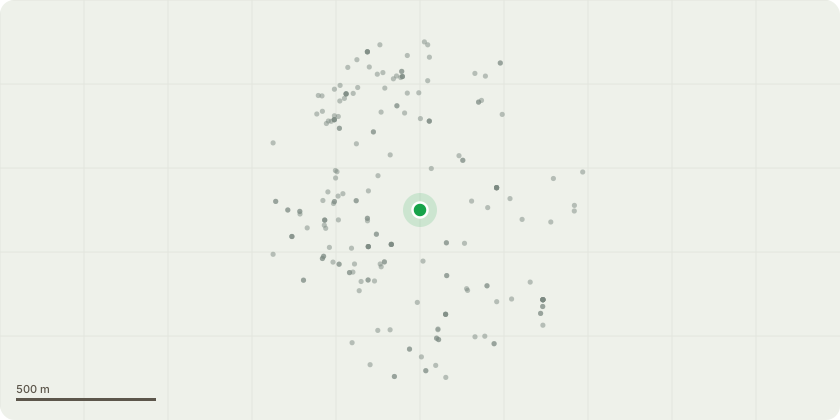
Approximate location
Proposal
T1 : Tag No 35964 - Corsican Pine Tree (dead) Dangerous tree fell as close to ground level as possible. T2 : Tag No 35579 - Poplar tree Requires an urgent re-pollard, back to the prior reduction points. This will maintain the health of the tree and prevent fall out close by to the childrens play area. T3 : Tag No 35578 - Lime tree Requires urgent deadwooding and a lift by approximately 5 metres, plus a reduce and reshape by approximately 2-3 metres to balance the tree. This will maintain the health of the tree and prevent fall out close by to the childrens play area. T4 : Tag No 35963 - Acacia tree Dangerous leaning tree, fell as close to ground level as possible. T5 : Tag No 35605 - Sycamore tree Dangerous tree shedding branches, reduce the dying tops down to the next substantial growth point, which is approximately 3 metres and reshape the sides to match and provide balance to the tree. This will maintain the health of the tree and prevent fall out in a well used common area.
Key dates
- Received 6 Oct 2026
- Validated 14 Oct 2026
- Started 14 Oct 2026
Planning history / related applications
No related planning applications have been identified in the current public OGL dataset.
Inside plotEdge
Go beyond the public record
This page is the public OGL record. plotEdge adds the private intelligence layer for this site - open it in the app to unlock:
- Ownership & title Registered owner and title from HM Land Registry.
- Viability & build potential Site scoring and development upside.
- Constraints Flood risk, green belt, conservation areas and designations.
- Approval signal Planning risk and approval-likelihood analysis.
- Comparable applications Decisions on similar nearby sites, side by side.
- Status alerts Get notified the moment this application changes.
Source: public planning application data from Richmond upon Thames, reused under the Open Government Licence v3.0. View the council source record. Council documents and drawings are not republished on plotEdge.