Richmond upon Thames
Richmond upon Thames/PA26/3381
RICHMOND COLLEGE, Queens Road, Richmond, TW10 6JW
- Reference
- Richmond upon Thames/PA26/3381
- Authority
- Richmond upon Thames
- Application type
- Works to Tree/s in Conservation Area
- Address
- RICHMOND COLLEGE, Queens Road, Richmond, TW10 6JW
- Postcode
- TW10 6JW
- Status
- Recommendation under review
- Received
- 2 Oct 2026
- Validated
- 14 Oct 2026
- Started
- 14 Oct 2026
- Source council
- Richmond upon Thames
- Council source record
- View public record
- Public data licence
- Open Government Licence v3.0
- Record updated
- 15 Oct 2026
- SEO index generated
- 16 Oct 2026
Location
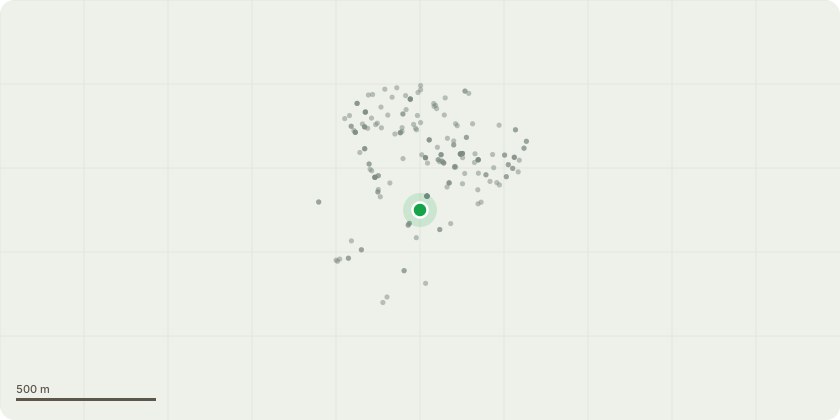
Approximate location
Proposal
**T1 – Silver Birch – Approx. 40ft high x 15ft wide** Self-seeded Silver Birch located in close proximity to the neighbouring property. The tree has established naturally and is now growing too close to the adjacent building, resulting in an increased risk of future contact with the property and potential damage from branches and root growth. Due to the tree’s current position and form, removal is considered the most appropriate course of action. There are no suitable natural pruning points that would allow the tree to be reduced or cut back sufficiently to provide adequate clearance from the neighbouring property without significantly compromising its natural form, structure and amenity value. A reduction would result in extensive cuts into larger diameter branches and leave an unbalanced and unnatural crown, with the potential for vigorous regrowth and the need for repeated future pruning. Continued retention in its current location is therefore considered unsuitable given its proximity to the neighbouring property. **It is proposed to remove T1 to ground level** to prevent further encroachment towards the neighbouring property and eliminate the potential for future damage, whilst allowing the area to be managed appropriately going forward.
Key dates
- Received 2 Oct 2026
- Validated 14 Oct 2026
- Started 14 Oct 2026
Planning history / related applications
No related planning applications have been identified in the current public OGL dataset.
Inside plotEdge
Go beyond the public record
This page is the public OGL record. plotEdge adds the private intelligence layer for this site - open it in the app to unlock:
- Ownership & title Registered owner and title from HM Land Registry.
- Viability & build potential Site scoring and development upside.
- Constraints Flood risk, green belt, conservation areas and designations.
- Approval signal Planning risk and approval-likelihood analysis.
- Comparable applications Decisions on similar nearby sites, side by side.
- Status alerts Get notified the moment this application changes.
Source: public planning application data from Richmond upon Thames, reused under the Open Government Licence v3.0. View the council source record. Council documents and drawings are not republished on plotEdge.