Richmond upon Thames
Richmond upon Thames/PA26/3357
STREET RECORD Fairways Teddington
- Reference
- Richmond upon Thames/PA26/3357
- Authority
- Richmond upon Thames
- Application type
- Works to Trees Under TPO
- Address
- STREET RECORD Fairways Teddington
- Status
- Recommendation under review
- Received
- 30 Sept 2026
- Validated
- 14 Oct 2026
- Started
- 14 Oct 2026
- Source council
- Richmond upon Thames
- Council source record
- View public record
- Public data licence
- Open Government Licence v3.0
- Record updated
- 15 Oct 2026
- SEO index generated
- 16 Oct 2026
Location
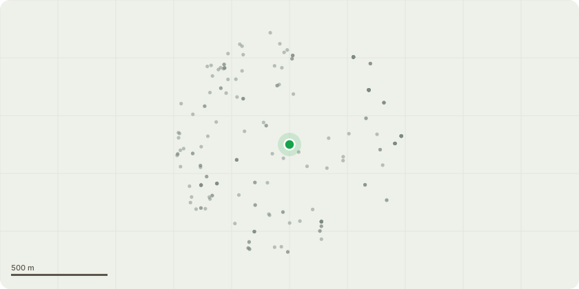
Approximate location
Proposal
****COMMUNAL TREES*** T6 Sycamore (Acer pseudoplatanus) Southwest corner of site, behind hedge, on boundary with Broom Close - Establishing Sycamore saplings / suckers with dead and decayed limbs / stems, at base of larger tree - Fell and poison establishing Sycamore saplings / suckers as unwanted basal sucker. T11 Sycamore (Acer pseudoplatanus) Overhanging tennis court, dead hanging branch and sparse looking crown - 30% Crown Reduction - Reducing the height and spread of the tree by approximately 2-3m to tidy and contain and retain furnishing growth, and limit overhang to tennis court. Final height 14m, final spread 10m. T12 Weeping Willow (Salix babylonica) By swimming pool - Decaying pollard stems - Pollard approx 0.5m below the previous pollard points, removing approximately 5m new growth. Final height 5m and final spread 6m. T16a Horse Chestnut (Aesculus hippocastanum) Opposite No.10 - Decay pocket seen at 7m in central crown and growing close to neighbouring property - Reduce away from corner of neighbouring property to give 2m clearance. Final height = 10m and final spread = 7m no number Ash (Fraxinus excelsior) 2 x trees on south side of Thameside Road, near to T20, saplings growing through chainlink fence - Fell as low as possible as in poor location and damaging fence T22a Holm Oak - Evergreen Oak (Quercus ilex) Group of trees growing on south side of Thameside Road near junction with Broom Road, branches very close to street light - Reduce away from street light to give 2m clearance. Final height = 13m and final spread = 8m.
Key dates
- Received 30 Sept 2026
- Validated 14 Oct 2026
- Started 14 Oct 2026
Planning history / related applications
No related planning applications have been identified in the current public OGL dataset.
Inside plotEdge
Go beyond the public record
This page is the public OGL record. plotEdge adds the private intelligence layer for this site - open it in the app to unlock:
- Ownership & title Registered owner and title from HM Land Registry.
- Viability & build potential Site scoring and development upside.
- Constraints Flood risk, green belt, conservation areas and designations.
- Approval signal Planning risk and approval-likelihood analysis.
- Comparable applications Decisions on similar nearby sites, side by side.
- Status alerts Get notified the moment this application changes.
Source: public planning application data from Richmond upon Thames, reused under the Open Government Licence v3.0. View the council source record. Council documents and drawings are not republished on plotEdge.