Richmond upon Thames
Richmond upon Thames/PA26/2888
Palace Gate House, Old Palace Yard, Richmond, TW9 1PD
- Reference
- Richmond upon Thames/PA26/2888
- Authority
- Richmond upon Thames
- Application type
- Works to Trees Under TPO
- Address
- Palace Gate House, Old Palace Yard, Richmond, TW9 1PD
- Postcode
- TW9 1PD
- Status
- Decided
- Decision
- Granted Permission
- Received
- 19 Aug 2026
- Validated
- 21 Aug 2026
- Started
- 21 Aug 2026
- Decided
- 24 Aug 2026
- Source council
- Richmond upon Thames
- Council source record
- View public record
- Public data licence
- Open Government Licence v3.0
- Record updated
- 25 Aug 2026
- SEO index generated
- 26 Aug 2026
Location
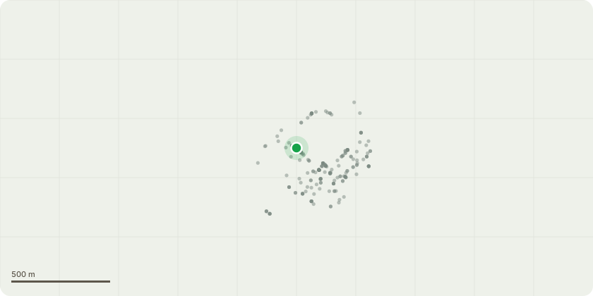
Approximate location
Proposal
T1 - Stone Pine Dimensions: Approx 18m Height, N12m, E6m, S8m, W2m. Proposed Works: Remove lowest limb back to the stem. Justification: The tree has a large over-extended lever arm growing to the north-west, roughly 12m in length. It protrudes well outside the line of the rest of the canopy and has been the subject of at least two previous applications, including one rejected by Richmond last year, showing this limb has been a concern to multiple separate arborists over a period of time. Recently a limb above it failed, came down and caused significant damage to the listed boundary wall to Old Palace Yard. The remaining lever arm sits above a busy public footpath with frequent historical tours passing through, a busy roadway and a run of car parking bays. Photographs from only two years ago show a noticeable flattening of the limb since, which adds to our concerns around end loading and mechanical stress at the union. With the failure we have been dealing with, there are no sufficient points left in the tree to brace from. On that basis we believe removal of the limb is the only suitable course of action, and given the target beneath it and the failure that has already occurred and no substantial reduction points.
Key dates
- Received 19 Aug 2026
- Validated 21 Aug 2026
- Started 21 Aug 2026
- Decided 24 Aug 2026
Planning history / related applications
No related planning applications have been identified in the current public OGL dataset.
Inside plotEdge
Go beyond the public record
This page is the public OGL record. plotEdge adds the private intelligence layer for this site - open it in the app to unlock:
- Ownership & title Registered owner and title from HM Land Registry.
- Viability & build potential Site scoring and development upside.
- Constraints Flood risk, green belt, conservation areas and designations.
- Approval signal Planning risk and approval-likelihood analysis.
- Comparable applications Decisions on similar nearby sites, side by side.
- Status alerts Get notified the moment this application changes.
Source: public planning application data from Richmond upon Thames, reused under the Open Government Licence v3.0. View the council source record. Council documents and drawings are not republished on plotEdge.