Reigate and Banstead
Reigate and Banstead/25/01913/TPO
Street Record Charlwood Place Reigate Surrey
- Reference
- Reigate and Banstead/25/01913/TPO
- Authority
- Reigate and Banstead
- Application type
- Tree preservation order
- Address
- Street Record Charlwood Place Reigate Surrey
- Status
- Decided (Approved)
- Decision
- Approved with Conditions
- Received
- 30 Oct 2025
- Validated
- 30 Oct 2025
- Started
- 30 Oct 2025
- Decided
- 8 Jan 2026
- Source council
- Reigate and Banstead
- Council source record
- View public record
- Public data licence
- Open Government Licence v3.0
- Record updated
- 6 Aug 2026
- SEO index generated
- 7 Aug 2026
Location
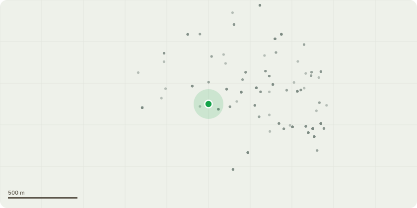
Approximate location
Proposal
RE1006 G1 Norway Maple in this group (T1 on tree condition survey) The tree's crown is obstructing the light splay of the street lamp. Prune the tree's tertiary branches to provide 1m clearance with the street lamp, and ensuring that a 45 degree from vertical splay is clear so as to allow light to reach the underlying pavement unobstructed. A maximum of 3m crown reduction and lateral reduction to the branches growing towards the streetlight is requested to achieve the above. G3 Holm Oak in this group (T42 on tree condition survey) Crown weighted eastwards due to suppression from elder to west. Twin stemmed from 0.3m, tight union with 0.1m of inclusion above union. Union approximately 3-4m up on north facing stem has included union with split developing, high risk of failure over courtyard with potential to damage housing and cause injury. Remove splitting limbs and reduce remaining crown by 2-3m to suitable growth points to lessen wind-loading on newly exposed limbs. RE868 A2 Mixed Species (G1 on tree condition survey) Mixed species group overhanging site from adjacent garden to east; Holly, Cherry Laurel, Holm Oak. Crown of group in direct contact with wall and gutters on site. Prune for 1.5m clearance from building. A maximum of 1.5m lateral reduction to the branches growing towards the building.
Key dates
- Received 30 Oct 2025
- Validated 30 Oct 2025
- Started 30 Oct 2025
- Decided 8 Jan 2026
Planning history / related applications
No related planning applications have been identified in the current public OGL dataset.
Inside plotEdge
Go beyond the public record
This page is the public OGL record. plotEdge adds the private intelligence layer for this site - open it in the app to unlock:
- Ownership & title Registered owner and title from HM Land Registry.
- Viability & build potential Site scoring and development upside.
- Constraints Flood risk, green belt, conservation areas and designations.
- Approval signal Planning risk and approval-likelihood analysis.
- Comparable applications Decisions on similar nearby sites, side by side.
- Status alerts Get notified the moment this application changes.
Source: public planning application data from Reigate and Banstead, reused under the Open Government Licence v3.0. View the council source record. Council documents and drawings are not republished on plotEdge.