Reigate and Banstead
Reigate and Banstead/19/01548/NMAMD3
Legal And General Kingswood House St Monicas Road Kingswood Surrey KT20 6EU
- Reference
- Reigate and Banstead/19/01548/NMAMD3
- Authority
- Reigate and Banstead
- Application type
- NMAMD
- Address
- Legal And General Kingswood House St Monicas Road Kingswood Surrey KT20 6EU
- Postcode
- KT20 6EU
- Status
- Withdrawn
- Decision
- Withdrawn by Applicant
- Received
- 10 Nov 2025
- Validated
- 10 Nov 2025
- Started
- 10 Nov 2025
- Decided
- 12 Jan 2026
- Source council
- Reigate and Banstead
- Council source record
- View public record
- Public data licence
- Open Government Licence v3.0
- Record updated
- 11 Aug 2026
- SEO index generated
- 12 Aug 2026
Location
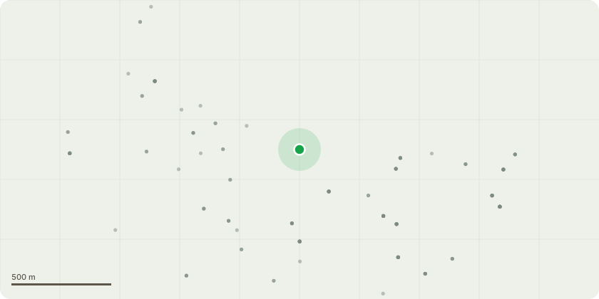
Approximate location
Proposal
Non material amendment. This NMA is seeking to amend the description of development of the original planning consent (ref. 19/01548/F) to insert the words "up to" before each reference to unit numbers. We are therefore seeking to amend the description of development from permission 19/01548/F as follows:Redevelopment of the site to create a Continuing Care Retirement Community (Use Class C2), comprising refurbishment and conversion of Legal & General House (Grade II* Listed) to provide up to 130 no. Assisted Living Units and respite units, Assisted Living support facilities in the rotunda to include a cafe, cinema/theatre and library, creche, ancillary on-site shop/store units at lower ground floor level, a restaurant and wellness centre including refurbishment of the existing swimming pool and car parking internally at lower ground levels, refurbishment and conversion of St Monica's House to provide up to 19 no. Assisted Living Units, erection of new build accommodation on existing hard-standing/parking areas to provide up to 131 no. Assisted Living Units, creation of a new access point from St Monica's Road, with associated parking, landscaping and open space including retention of green space on land to the east. As amended on 13/08/2019, 19/09/2019, 27/09/2019, 07/10/2019, 18/10/2019, 01/11/2019, 17/01/2020, 29/01/2020, 17/02/2020, 11/03/2020, 24/06/2020 and on 16/07/2020.
Key dates
- Received 10 Nov 2025
- Validated 10 Nov 2025
- Started 10 Nov 2025
- Decided 12 Jan 2026
Planning history / related applications
No related planning applications have been identified in the current public OGL dataset.
Inside plotEdge
Go beyond the public record
This page is the public OGL record. plotEdge adds the private intelligence layer for this site - open it in the app to unlock:
- Ownership & title Registered owner and title from HM Land Registry.
- Viability & build potential Site scoring and development upside.
- Constraints Flood risk, green belt, conservation areas and designations.
- Approval signal Planning risk and approval-likelihood analysis.
- Comparable applications Decisions on similar nearby sites, side by side.
- Status alerts Get notified the moment this application changes.
Source: public planning application data from Reigate and Banstead, reused under the Open Government Licence v3.0. View the council source record. Council documents and drawings are not republished on plotEdge.