Plymouth
Plymouth/26/01146/PRDE
Ham Drive Nursery School Ham Drive Plymouth PL2 2NJ
- Reference
- Plymouth/26/01146/PRDE
- Authority
- Plymouth
- Application type
- PRDE
- Address
- Ham Drive Nursery School Ham Drive Plymouth PL2 2NJ
- Postcode
- PL2 2NJ
- Status
- Awaiting decision
- Received
- 19 Aug 2026
- Started
- 19 Aug 2026
- Source council
- Plymouth
- Council source record
- View public record
- Public data licence
- Open Government Licence v3.0
- Record updated
- 24 Aug 2026
- SEO index generated
- 26 Aug 2026
Location
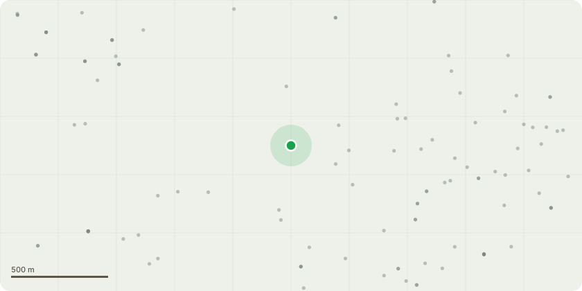
Approximate location
Proposal
The proposal comprises the construction of a single-storey extension to the existing Ham Drive Nursery School building to provide additional teaching/play space, a sleep room, kitchen/baby change area, store and entrance lobby. The extension will be constructed in the position and to the dimensions shown on the submitted proposed plans and elevations.No new vehicular or pedestrian access is proposed and no new street is to be laid out. No new means of enclosure are proposed. Existing external access arrangements will remain unchanged.Localised hardstanding and external surfaces disturbed by the construction works will be reinstated or made good on completion. No significant new areas of hardstanding are proposed beyond those necessary immediately around the extension and for making good to existing surfaces.Foul drainage from the proposed kitchen sink and baby-change handwash basin will be connected into the existing drainage system, with the exact connection point to be verified on site. Surface water from the new pitched roof will be collected by gutters and rainwater downpipes and discharged to the existing surface water drainage system or other suitable existing drainage arrangement, subject to confirmation on site.The precise siting, footprint, dimensions, internal layout and external elevations of the proposed extension are shown on the submitted drawings.
Key dates
- Received 19 Aug 2026
- Started 19 Aug 2026
Planning history / related applications
No related planning applications have been identified in the current public OGL dataset.
Inside plotEdge
Go beyond the public record
This page is the public OGL record. plotEdge adds the private intelligence layer for this site - open it in the app to unlock:
- Ownership & title Registered owner and title from HM Land Registry.
- Viability & build potential Site scoring and development upside.
- Constraints Flood risk, green belt, conservation areas and designations.
- Approval signal Planning risk and approval-likelihood analysis.
- Comparable applications Decisions on similar nearby sites, side by side.
- Status alerts Get notified the moment this application changes.
Source: public planning application data from Plymouth, reused under the Open Government Licence v3.0. View the council source record. Council documents and drawings are not republished on plotEdge.