Pendle
Pendle/26/0712/TPO
21 Lupton Drive Barrowford Lancashire BB9 6JT
- Reference
- Pendle/26/0712/TPO
- Authority
- Pendle
- Application type
- Tree preservation order
- Address
- 21 Lupton Drive Barrowford Lancashire BB9 6JT
- Postcode
- BB9 6JT
- Status
- Registered
- Received
- 13 Oct 2026
- Started
- 13 Oct 2026
- Source council
- Pendle
- Council source record
- View public record
- Public data licence
- Open Government Licence v3.0
- Record updated
- 14 Oct 2026
- SEO index generated
- 16 Oct 2026
Location
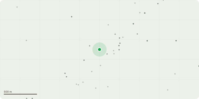
Approximate location
Proposal
Tree is at rear of garden **Application for consent to fell ? 21 Lupton Drive, Barrowford**Consent is sought to fell the tree due to concerns regarding its declining health and structural stability.The primary concern is reported Ganoderma infection, alongside a reduction in canopy cover and a substantial number of dead branches. These symptoms raise concerns about the extent of any associated decay and its implications for the tree?s structural integrity.The tree has a large canopy, with several high-risk targets within its potential failure zone. The client has young children and is particularly concerned about the risk of falling branches or tree failure in areas used by the family.Extensive black fungal or mould-like growth has also been observed on the branches. This warrants further investigation, although its identity and any relationship to the tree?s decline have not been confirmed.Several lime trees within the same row have reportedly died. There is concern that development to the rear may have contributed to stress affecting these trees; however, a causal link between the development, infection and tree deaths has not been established.Given the reported fungal infection, canopy decline, extensive deadwood and surrounding targets, removal is requested on tree health and safety grounds. The application seeks to address the potential risk to people and nearby property.
Key dates
- Received 13 Oct 2026
- Started 13 Oct 2026
Planning history / related applications
No related planning applications have been identified in the current public OGL dataset.
Inside plotEdge
Go beyond the public record
This page is the public OGL record. plotEdge adds the private intelligence layer for this site - open it in the app to unlock:
- Ownership & title Registered owner and title from HM Land Registry.
- Viability & build potential Site scoring and development upside.
- Constraints Flood risk, green belt, conservation areas and designations.
- Approval signal Planning risk and approval-likelihood analysis.
- Comparable applications Decisions on similar nearby sites, side by side.
- Status alerts Get notified the moment this application changes.
Source: public planning application data from Pendle, reused under the Open Government Licence v3.0. View the council source record. Council documents and drawings are not republished on plotEdge.