Pendle
Pendle/26/0678/TPO
23 Lupton Drive Barrowford Lancashire BB9 6JT
- Reference
- Pendle/26/0678/TPO
- Authority
- Pendle
- Application type
- Tree preservation order
- Address
- 23 Lupton Drive Barrowford Lancashire BB9 6JT
- Postcode
- BB9 6JT
- Status
- Registered
- Received
- 6 Oct 2026
- Started
- 6 Oct 2026
- Source council
- Pendle
- Council source record
- View public record
- Public data licence
- Open Government Licence v3.0
- Record updated
- 7 Oct 2026
- SEO index generated
- 13 Oct 2026
Location
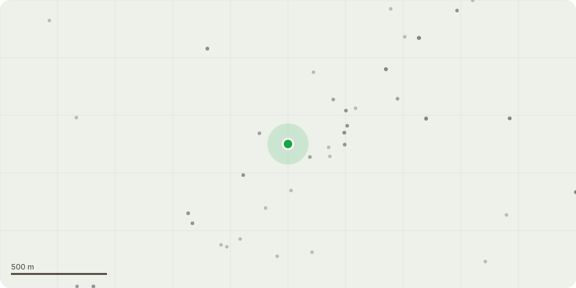
Approximate location
Proposal
T1 Mature lime (Tilia sp.), approx. 18 m tall at 23 Lupton Drive.Fell to ground level. Remove all arising timber and brash from site. Grind the stump to below ground level (or as directed by the Council) and backfill with suitable material. Make good the ground on completion.No other trees are included in this application.Removal plan1. A qualified, insured arborist will carry out the work in accordance with BS 3998:2010 Tree work ? Recommendations.2. The crown will be dismantled in sections using rigging where required so that falling timber does not damage the property, neighbouring land, or the highway.3. All dead, hanging and decaying wood will be removed as part of the dismantling process.4. The main stem will be felled or section-felled once the crown is down.5. The stump will be ground out to a sufficient depth to allow replanting or making good of the surface.6. All waste wood, brash and grindings will be removed from site and disposed of responsibly. Infected material associated with Ganoderma will not be left on site.7. Work will be timed to avoid peak bird-nesting season unless a pre-works check confirms no active nests.8. The site will be left tidy, with any damaged turf or surfaces reinstated.
Key dates
- Received 6 Oct 2026
- Started 6 Oct 2026
Planning history / related applications
No related planning applications have been identified in the current public OGL dataset.
Inside plotEdge
Go beyond the public record
This page is the public OGL record. plotEdge adds the private intelligence layer for this site - open it in the app to unlock:
- Ownership & title Registered owner and title from HM Land Registry.
- Viability & build potential Site scoring and development upside.
- Constraints Flood risk, green belt, conservation areas and designations.
- Approval signal Planning risk and approval-likelihood analysis.
- Comparable applications Decisions on similar nearby sites, side by side.
- Status alerts Get notified the moment this application changes.
Source: public planning application data from Pendle, reused under the Open Government Licence v3.0. View the council source record. Council documents and drawings are not republished on plotEdge.