Pendle
Pendle/26/0565/TPO
245 Barkerhouse Road Nelson Lancashire BB9 9NL
- Reference
- Pendle/26/0565/TPO
- Authority
- Pendle
- Application type
- Tree preservation order
- Address
- 245 Barkerhouse Road Nelson Lancashire BB9 9NL
- Postcode
- BB9 9NL
- Status
- Registered
- Received
- 24 Aug 2026
- Started
- 24 Aug 2026
- Source council
- Pendle
- Council source record
- View public record
- Public data licence
- Open Government Licence v3.0
- Record updated
- 25 Aug 2026
- SEO index generated
- 28 Aug 2026
Location
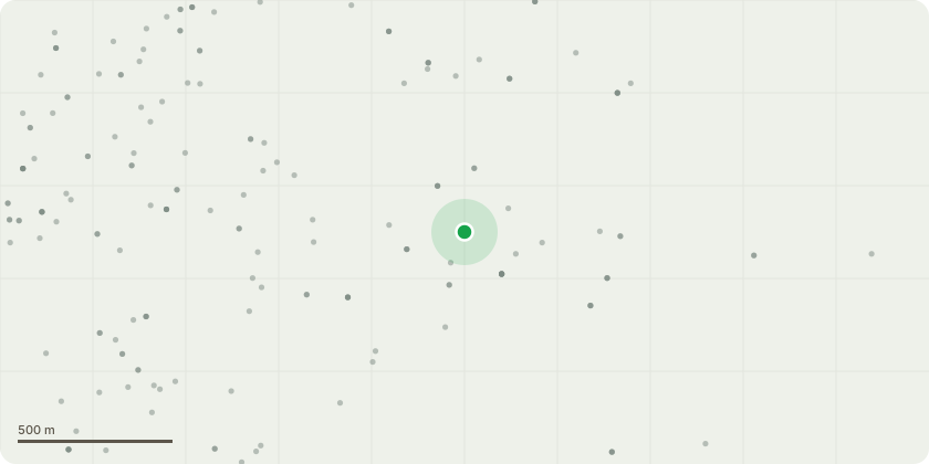
Approximate location
Proposal
The proposed works are to remove an ash tree affected by ash dieback. The tree is showing signs of decline and is shedding/dropping limbs, presenting a potential safety risk to people and property. Removal is therefore considered necessary to address the risk posed by the tree as its condition deteriorates.It is also proposed to remove the adjacent Leylandii, which has become excessively large and dominant. Its dense growth is restricting light and resources, preventing other vegetation from establishing and growing effectively in the surrounding area. Removal of the Leylandii will improve light levels and allow the space to be replanted or naturally regenerate.Both trees are proposed for removal on the grounds of safety, tree health and the management of the surrounding vegetation.Happy to discuss if more information or clarification is required.
Key dates
- Received 24 Aug 2026
- Started 24 Aug 2026
Planning history / related applications
No related planning applications have been identified in the current public OGL dataset.
Inside plotEdge
Go beyond the public record
This page is the public OGL record. plotEdge adds the private intelligence layer for this site - open it in the app to unlock:
- Ownership & title Registered owner and title from HM Land Registry.
- Viability & build potential Site scoring and development upside.
- Constraints Flood risk, green belt, conservation areas and designations.
- Approval signal Planning risk and approval-likelihood analysis.
- Comparable applications Decisions on similar nearby sites, side by side.
- Status alerts Get notified the moment this application changes.
Source: public planning application data from Pendle, reused under the Open Government Licence v3.0. View the council source record. Council documents and drawings are not republished on plotEdge.