Oxford
Oxford/26/00564/CAT
Land Forming The Site Of Bennett Crescent Oxford Oxfordshire
- Reference
- Oxford/26/00564/CAT
- Authority
- Oxford
- Application type
- CAT
- Address
- Land Forming The Site Of Bennett Crescent Oxford Oxfordshire
- Status
- Decided
- Decision
- Raise No Objection
- Received
- 5 Mar 2026
- Validated
- 13 Mar 2026
- Started
- 13 Mar 2026
- Decided
- 7 Apr 2026
- Source council
- Oxford
- Council source record
- View public record
- Public data licence
- Open Government Licence v3.0
- Record updated
- 6 Aug 2026
- SEO index generated
- 7 Aug 2026
Location
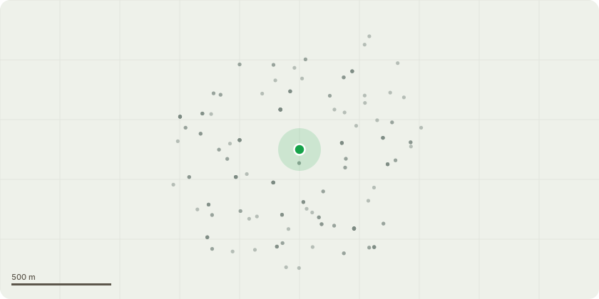
Approximate location
Proposal
Works to various trees as specified by Ringrose Tree Services in the Temple Cowley Conservation area.T501 Wild cherry Crown lift to 2.5m over parking spot for number 11.T502 Wild cherry Crown lift to 2.5m over visitor parking spot to the west. Prune roadside back to boundary.T503 Wild cherry Crown lift to 2.5m over both adjacent parking spots. Prune roadside back to boundary.T504 Wild cherry Crown lift to 2.5m over both adjacent parking spots. Prune roadside back to boundary.T505 Wild cherry Re-reduce crown back to near previous points. Approximately 1-2m.T506 Wild cherry Re-reduce crown back to near previous points. Approximately 1-2m.T507 Wild cherry Re-reduce crown back to near previous points. Approximately 1-2m.T508 Wild cherry Re-reduce crown back to near previous points. Approximately 1-2m.T510 Swedish whitebeam Formatively prune to ensure good form in the future.T511 Swedish whitebeam Formatively prune to ensure good form in the future.T512 Common lime Remove major deadwood and remove epicormic growth around base.T513 Common lime Remove major deadwood and lift crown to 4m over neighbours car park.T514 Common lime Remove major deadwood and remove epicormic growth around base.T515 Goat willow Fell regrowth to ground level and treat the stump with ecoplugs.T517 Wild cherry Crown lift over road and car park to 2.5m and reduce back from building to create 1m clearance.T521 Common lime Fell epicormic growth to ground level and treat the stump with eco plugs.T522 Swedish whitebeam Repollard back to near previous pollard points.T531 Cultivar apple Reduce back to near previous points.T543 Common lime Remove major deadwood and prune back from traffic signals.
Key dates
- Received 5 Mar 2026
- Validated 13 Mar 2026
- Started 13 Mar 2026
- Decided 7 Apr 2026
Planning history / related applications
No related planning applications have been identified in the current public OGL dataset.
Inside plotEdge
Go beyond the public record
This page is the public OGL record. plotEdge adds the private intelligence layer for this site - open it in the app to unlock:
- Ownership & title Registered owner and title from HM Land Registry.
- Viability & build potential Site scoring and development upside.
- Constraints Flood risk, green belt, conservation areas and designations.
- Approval signal Planning risk and approval-likelihood analysis.
- Comparable applications Decisions on similar nearby sites, side by side.
- Status alerts Get notified the moment this application changes.
Source: public planning application data from Oxford, reused under the Open Government Licence v3.0. View the council source record. Council documents and drawings are not republished on plotEdge.