Oxford
Oxford/24/00335/NMA3
4200 Nash Court John Smith Drive Oxford Oxfordshire OX4 2RU
- Reference
- Oxford/24/00335/NMA3
- Authority
- Oxford
- Application type
- Non-material amendment
- Address
- 4200 Nash Court John Smith Drive Oxford Oxfordshire OX4 2RU
- Postcode
- OX4 2RU
- Status
- Registered
- Received
- 1 Jul 2026
- Started
- 1 Jul 2026
- Source council
- Oxford
- Council source record
- View public record
- Public data licence
- Open Government Licence v3.0
- Record updated
- 11 Aug 2026
- SEO index generated
- 12 Aug 2026
Location
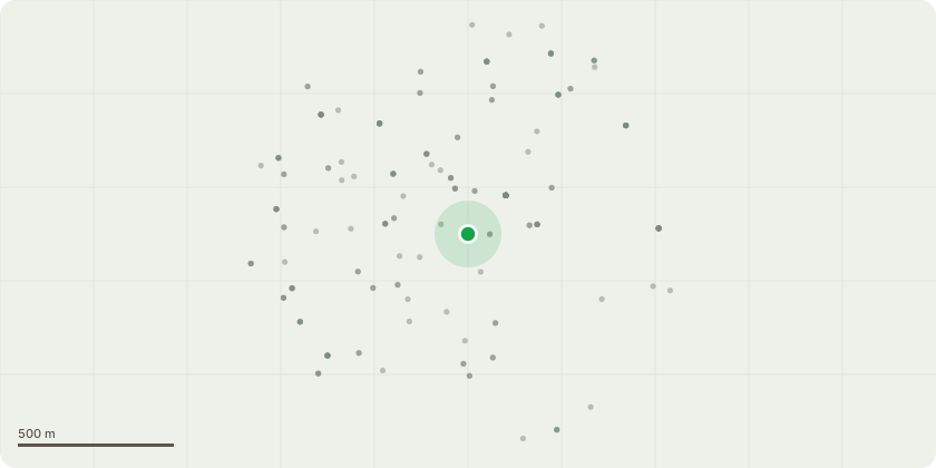
Approximate location
Proposal
Non-Material amendment to planning permission 24/00335/FUL to allow for the proposed changes that include insertion of a fixed balustrade to the level 4 roof, minor alterations to the rear entrance curtain walling, cladding and fascia to west elevation, alterations to fenestrations, insertion of stepover to level 4 roof, positions adjusted of external buildings, kerb line around cycle store re-positioned, amendment to EV charging point positions, formation of kerbs, minor amendments to planting areas and tree locations, amendment to external enclosure positions, alteration to paved area to frontage of cycle store, alteration to fences, removal of flexible furniture to frontage from plan, indicative sign in southern plaza removed from plan and key, adjustment to lamp column position, permeable grass paving bond amended from herringbone to stretcher bond, key amendment change from timber enclosure to external enclosures, removal of wayfinding signage from key, addition of green roofs, amendment to concrete paving slabs to pedestrian paths and addition of ramped accesses to pedestrian paths.
Key dates
- Received 1 Jul 2026
- Started 1 Jul 2026
Planning history / related applications
No related planning applications have been identified in the current public OGL dataset.
Inside plotEdge
Go beyond the public record
This page is the public OGL record. plotEdge adds the private intelligence layer for this site - open it in the app to unlock:
- Ownership & title Registered owner and title from HM Land Registry.
- Viability & build potential Site scoring and development upside.
- Constraints Flood risk, green belt, conservation areas and designations.
- Approval signal Planning risk and approval-likelihood analysis.
- Comparable applications Decisions on similar nearby sites, side by side.
- Status alerts Get notified the moment this application changes.
Source: public planning application data from Oxford, reused under the Open Government Licence v3.0. View the council source record. Council documents and drawings are not republished on plotEdge.