Nottingham
Nottingham/26/01516/PTPO
Woodthorpe House, Sherwood Community Centre Mansfield Road Nottingham Nottingham City NG5 3FN
- Reference
- Nottingham/26/01516/PTPO
- Authority
- Nottingham
- Application type
- PTPO
- Address
- Woodthorpe House, Sherwood Community Centre Mansfield Road Nottingham Nottingham City NG5 3FN
- Postcode
- NG5 3FN
- Status
- Pending Consideration
- Received
- 27 Aug 2026
- Started
- 27 Aug 2026
- Source council
- Nottingham
- Council source record
- View public record
- Public data licence
- Open Government Licence v3.0
- Record updated
- 29 Aug 2026
- SEO index generated
- 30 Aug 2026
Location
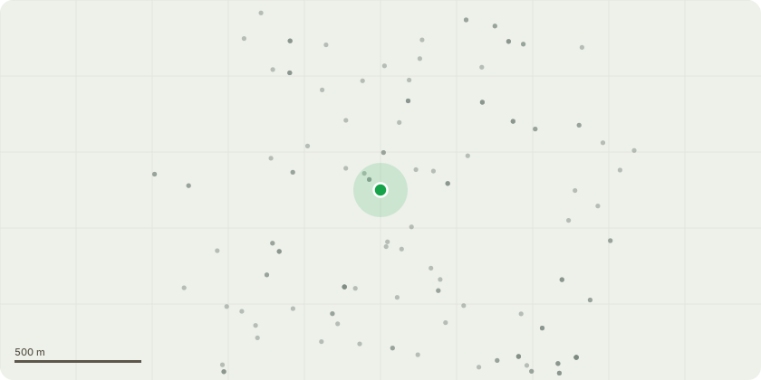
Approximate location
Proposal
Tree Code: Sgl/106736Species: Beech (Fagus sylvatica)TPO: TPO269 (T10)WorksSectionally fell and remove the Beech tree to ground level.Remove all timber, branches and arising debris from site.Grind out or otherwise remove the stump where practicable, or leave at ground level as directed by the client.Reason for WorksThe tree is exhibiting significant structural defects and decay, including:Evidence of substantial basal decay associated with fungal activity (Pholiota spp.).Hollow sounding stem indicating internal decay.Two very large historic tear-out wounds, including one approximately 5 metres above ground level.Major limb loss and loss of large branches.Abnormal buttressing and trunk form.Stem decay below the crown break.These defects indicate a significant decline in structural integrity and an increased risk of partial or whole-tree failure.Summary1 × Beech (Fagus sylvatica)Sectional dismantling and removal of the entire tree due to advanced structural defects and decay.
Key dates
- Received 27 Aug 2026
- Started 27 Aug 2026
Planning history / related applications
No related planning applications have been identified in the current public OGL dataset.
Inside plotEdge
Go beyond the public record
This page is the public OGL record. plotEdge adds the private intelligence layer for this site - open it in the app to unlock:
- Ownership & title Registered owner and title from HM Land Registry.
- Viability & build potential Site scoring and development upside.
- Constraints Flood risk, green belt, conservation areas and designations.
- Approval signal Planning risk and approval-likelihood analysis.
- Comparable applications Decisions on similar nearby sites, side by side.
- Status alerts Get notified the moment this application changes.
Source: public planning application data from Nottingham, reused under the Open Government Licence v3.0. View the council source record. Council documents and drawings are not republished on plotEdge.