Nottingham
Nottingham/26/01426/PTPO
8 Rectory Gardens Nottingham Nottingham City NG8 2AR
- Reference
- Nottingham/26/01426/PTPO
- Authority
- Nottingham
- Application type
- PTPO
- Address
- 8 Rectory Gardens Nottingham Nottingham City NG8 2AR
- Postcode
- NG8 2AR
- Status
- Pending Consideration
- Received
- 21 Aug 2026
- Started
- 21 Aug 2026
- Source council
- Nottingham
- Council source record
- View public record
- Public data licence
- Open Government Licence v3.0
- Record updated
- 22 Aug 2026
- SEO index generated
- 26 Aug 2026
Location
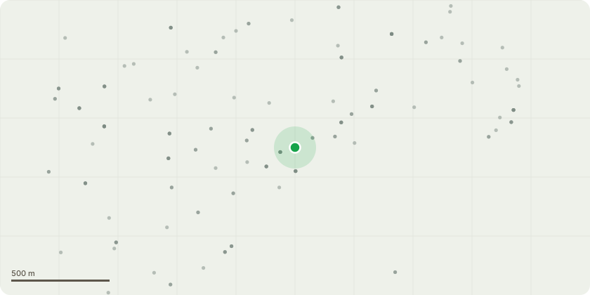
Approximate location
Proposal
Attached is a site plan RG-T001 which marks up each tree with a reference number T1-T6Sycamore (T1) - remove any minor shoots where previous lower branches have been removed and sealSycamore (T2) - remove any minor shoots where previous lower branches have been removed and sealSycamore (T3) - remove any minor shoots where previous lower branches have been removed and sealSycamore (T4) - lift the crown of the tree to the northeast side of the tree (furthest from the house) up by approx 4-5m, so the canopy lines matches trees T1-3, T5 and allow more light onto the bottom end of the garden. This portion of the tree is not visible from the road.Sycamore (T5) - remove 4-5 offshoot branches from right fork of tree (when looking from the house) which over hang neighbours garden and are very close to their roof (see photo for additional information)Pine (T6) - proposed to be felled to ground level. Reason: the needles collect and hold dust which severely affects two of the residents who have hay fever and asthma. The tree being a pine is out of keeping with the rest of the sycamore group. It blocks the low level views through the main sycamore trees to the bottom end of the garden. It does not affect the main tree grouping from the road (see marked up photo from the road). Trees are within G1 of TPO 55.
Key dates
- Received 21 Aug 2026
- Started 21 Aug 2026
Planning history / related applications
No related planning applications have been identified in the current public OGL dataset.
Inside plotEdge
Go beyond the public record
This page is the public OGL record. plotEdge adds the private intelligence layer for this site - open it in the app to unlock:
- Ownership & title Registered owner and title from HM Land Registry.
- Viability & build potential Site scoring and development upside.
- Constraints Flood risk, green belt, conservation areas and designations.
- Approval signal Planning risk and approval-likelihood analysis.
- Comparable applications Decisions on similar nearby sites, side by side.
- Status alerts Get notified the moment this application changes.
Source: public planning application data from Nottingham, reused under the Open Government Licence v3.0. View the council source record. Council documents and drawings are not republished on plotEdge.