Nottingham
Nottingham/26/01185/PWC
Land To South West Of 36 To 37 Gervase Gardens Nottingham
- Reference
- Nottingham/26/01185/PWC
- Authority
- Nottingham
- Application type
- PWC
- Address
- Land To South West Of 36 To 37 Gervase Gardens Nottingham
- Status
- Pending Consideration
- Received
- 8 Jul 2026
- Started
- 8 Jul 2026
- Source council
- Nottingham
- Council source record
- View public record
- Public data licence
- Open Government Licence v3.0
- Record updated
- 6 Aug 2026
- SEO index generated
- 7 Aug 2026
Location
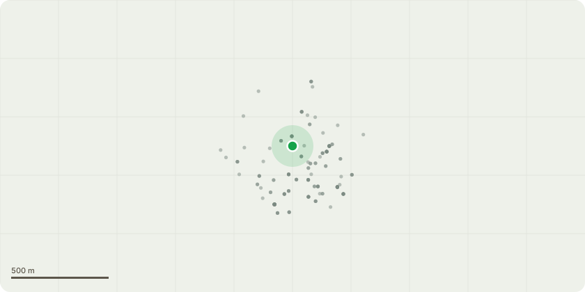
Approximate location
Proposal
Beech tree - Fell and remove.Tree shown as a red circle on the location plan. Tree sits very close to 35 Gervase Gardens. Roots of the tree are causing structural damage to a property and the danger is also due to the fact that its sits on the edge of a parking area / access to a garage block. The roots are very exposed, there is a dwarf wall close to the tree which is lifting plus a public footpath that is showing signs of cracking the path is used by residents both children and adult some elderly.Planning gave permission in 2025 to reduce the branches by 1.5mtr prior to this work the issue of the root formation had already been raised with Tree Services.The arborist who carried out the work reported that the root formation was of concern to him and considered the tree a danger. He said in adverse weather conditions it has the potential to roll forward. I asked for a written report but unfortunately the poor man had a stroke and was unable to continue working.
Key dates
- Received 8 Jul 2026
- Started 8 Jul 2026
Planning history / related applications
No related planning applications have been identified in the current public OGL dataset.
Inside plotEdge
Go beyond the public record
This page is the public OGL record. plotEdge adds the private intelligence layer for this site - open it in the app to unlock:
- Ownership & title Registered owner and title from HM Land Registry.
- Viability & build potential Site scoring and development upside.
- Constraints Flood risk, green belt, conservation areas and designations.
- Approval signal Planning risk and approval-likelihood analysis.
- Comparable applications Decisions on similar nearby sites, side by side.
- Status alerts Get notified the moment this application changes.
Source: public planning application data from Nottingham, reused under the Open Government Licence v3.0. View the council source record. Council documents and drawings are not republished on plotEdge.