Nottingham
Nottingham/26/00943/PTPO
Land Rear Of Gateway Hotel From East Of Cinderhill Road To West Of Nottingham College Japonica Drive Nottingham
- Reference
- Nottingham/26/00943/PTPO
- Authority
- Nottingham
- Application type
- PTPO
- Address
- Land Rear Of Gateway Hotel From East Of Cinderhill Road To West Of Nottingham College Japonica Drive Nottingham
- Status
- Pending Consideration
- Received
- 4 Jun 2026
- Started
- 4 Jun 2026
- Source council
- Nottingham
- Council source record
- View public record
- Public data licence
- Open Government Licence v3.0
- Record updated
- 6 Aug 2026
- SEO index generated
- 7 Aug 2026
Location
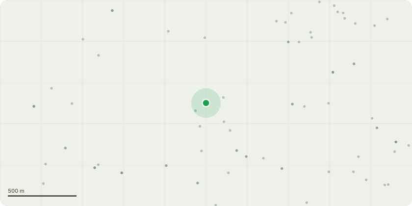
Approximate location
Proposal
Sgl/002434 - Salix fragilis (Willow)Fell uprooted, failed, hung-up tree. Remove from the adjacent tree it is resting in Process timber and lay flat on site where appropriate to reduce risk. Ensure surrounding area is made safe for public access.Sgl/002435 - Salix fragilis (Willow, twin stem)Fell uprooted, failed, hung-up tree. Remove from the adjacent supporting tree. Process and leave timber laid flat where appropriate. Keep nearby footpaths clear.Sgl/002437 - Salix fragilis (Willow, twin stem)Fell uprooted, failed, hung-up tree. Remove from the tree it is lodged in. Lay timber flat on site to eliminate hazard. Maintain safe public access through the areaSgl/071803 - Populus nigra (Poplar)Crown reduce twin co-dominant stems by approximately 6 metres. Objective: Reduce end weight. Lower risk of failure due to lean.Sgl/761553 - Salix fragilis (Multi-stem willow)Remove all deadwood Remove failed and hanging branches (including major hung-up limb) Target hazards over: Car park. Woodland entrance. Retain low branches where they do not obstruct paths.
Key dates
- Received 4 Jun 2026
- Started 4 Jun 2026
Planning history / related applications
No related planning applications have been identified in the current public OGL dataset.
Inside plotEdge
Go beyond the public record
This page is the public OGL record. plotEdge adds the private intelligence layer for this site - open it in the app to unlock:
- Ownership & title Registered owner and title from HM Land Registry.
- Viability & build potential Site scoring and development upside.
- Constraints Flood risk, green belt, conservation areas and designations.
- Approval signal Planning risk and approval-likelihood analysis.
- Comparable applications Decisions on similar nearby sites, side by side.
- Status alerts Get notified the moment this application changes.
Source: public planning application data from Nottingham, reused under the Open Government Licence v3.0. View the council source record. Council documents and drawings are not republished on plotEdge.