Nottingham
Nottingham/26/00447/PTPO
Car Parking Spaces CIS Unit 3.1 Enterprise Way Nottingham
- Reference
- Nottingham/26/00447/PTPO
- Authority
- Nottingham
- Application type
- PTPO
- Address
- Car Parking Spaces CIS Unit 3.1 Enterprise Way Nottingham
- Status
- Decided
- Decision
- Grant conditional consent
- Received
- 23 Mar 2026
- Validated
- 27 Mar 2026
- Started
- 27 Mar 2026
- Decided
- 14 May 2026
- Source council
- Nottingham
- Council source record
- View public record
- Public data licence
- Open Government Licence v3.0
- Record updated
- 6 Aug 2026
- SEO index generated
- 7 Aug 2026
Location
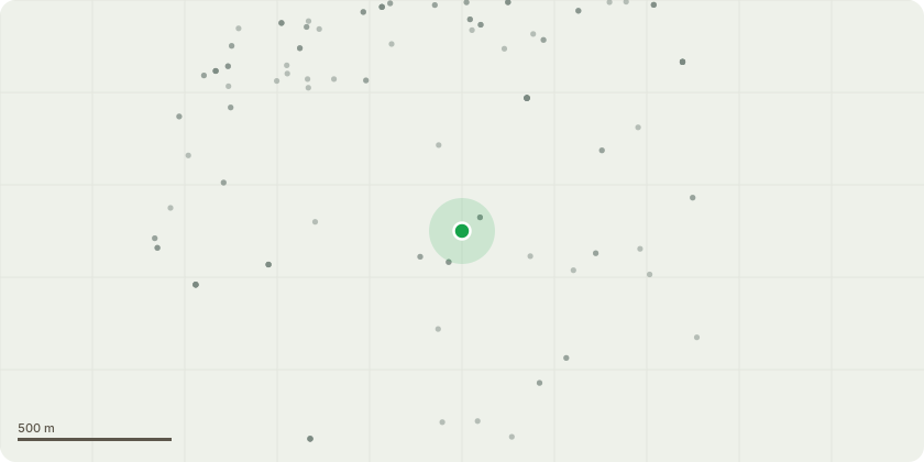
Approximate location
Proposal
T46-T48, T53-T62, T64-T69 - Lombardy PoplarsA linear group of Lombardy Poplars approx. 25m located between the car park and footpath.Works: Reduce trees by up to 10m and remove deadwood in accordance with the submitted Tree Survey.Reason: The trees are mature and showing signs of age related decline, including deadwood. Some specimens have been previously reduced, indicating an ongoing management regime. A pre emptive height reduction will reduce sail area and mechanical stress on the stems, lowering the risk of failure and supporting long term retention. The proposed reduction will maintain the trees landscape prominence while improving their condition and safety.
Key dates
- Received 23 Mar 2026
- Validated 27 Mar 2026
- Started 27 Mar 2026
- Decided 14 May 2026
Planning history / related applications
No related planning applications have been identified in the current public OGL dataset.
Inside plotEdge
Go beyond the public record
This page is the public OGL record. plotEdge adds the private intelligence layer for this site - open it in the app to unlock:
- Ownership & title Registered owner and title from HM Land Registry.
- Viability & build potential Site scoring and development upside.
- Constraints Flood risk, green belt, conservation areas and designations.
- Approval signal Planning risk and approval-likelihood analysis.
- Comparable applications Decisions on similar nearby sites, side by side.
- Status alerts Get notified the moment this application changes.
Source: public planning application data from Nottingham, reused under the Open Government Licence v3.0. View the council source record. Council documents and drawings are not republished on plotEdge.