Norwich
Norwich/26/00827/TCA
Cow Tower Bishopgate Norwich
- Reference
- Norwich/26/00827/TCA
- Authority
- Norwich
- Application type
- Trees in conservation area
- Address
- Cow Tower Bishopgate Norwich
- Status
- Awaiting decision
- Received
- 20 Aug 2026
- Started
- 20 Aug 2026
- Source council
- Norwich
- Council source record
- View public record
- Public data licence
- Open Government Licence v3.0
- Record updated
- 29 Aug 2026
- SEO index generated
- 30 Aug 2026
Location
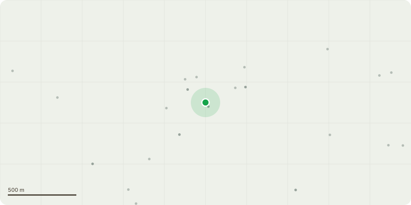
Approximate location
Proposal
4234 - Populus - Hollowing / column of decay on tension side (and likely heartwood) of second tree from tower now extensive, with 2x open cavities. Wound wood and vitality remains good. Height reduction of this tree, as recommended, by approximately 8-10m would reduce stress at base with minimal adverse visual impact, due to the tree being flanked by two larger examples. Orange paint applied for identification.3022 - Populus - Second tree from the tower now exhibits extensive hollowing on tension side to approximately 2m agl. Good compensatory growth, however compromised tension wood and lean bias towards river suggests mitigation via height and lateral limb reduction is warranted. Recommendation to reduce laterals on river side by 3m approx, and height by approx 4-5m, to suitable growth points. Resulting exposure to wind of flanking trees likely to be minimal due to generally good sheltering of area, however crown reduction of all 4 trees in row at the same time, to previous reduction points.
Key dates
- Received 20 Aug 2026
- Started 20 Aug 2026
Planning history / related applications
No related planning applications have been identified in the current public OGL dataset.
Inside plotEdge
Go beyond the public record
This page is the public OGL record. plotEdge adds the private intelligence layer for this site - open it in the app to unlock:
- Ownership & title Registered owner and title from HM Land Registry.
- Viability & build potential Site scoring and development upside.
- Constraints Flood risk, green belt, conservation areas and designations.
- Approval signal Planning risk and approval-likelihood analysis.
- Comparable applications Decisions on similar nearby sites, side by side.
- Status alerts Get notified the moment this application changes.
Source: public planning application data from Norwich, reused under the Open Government Licence v3.0. View the council source record. Council documents and drawings are not republished on plotEdge.