North Yorkshire
North Yorkshire/ZA24/25783/CND
Land Off Meadow Lane/Meadow Close Cononley Keighley
- Reference
- North Yorkshire/ZA24/25783/CND
- Authority
- North Yorkshire
- Application type
- Discharge Condition
- Address
- Land Off Meadow Lane/Meadow Close Cononley Keighley
- Status
- Decided
- Decision
- Split Decision
- Validated
- 27 Feb 2024
- Decided
- 28 Jun 2024
- Source council
- North Yorkshire
- Council source record
- View public record
- Public data licence
- Open Government Licence v3.0
- Record updated
- 6 Aug 2026
- SEO index generated
- 7 Aug 2026
Location
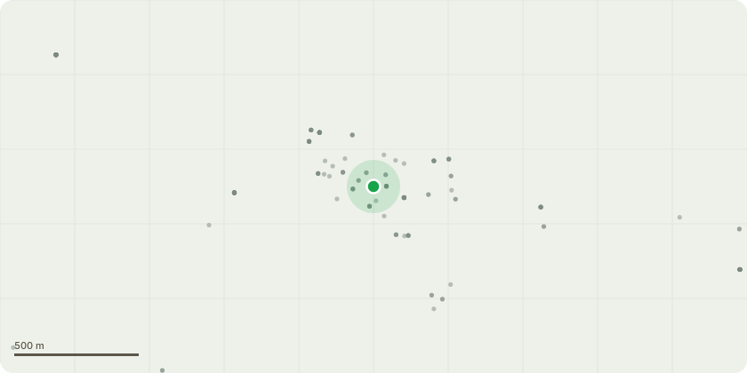
Approximate location
Proposal
Application to discharge condition no 4, 5, 6, 8, 9, 11, 17, 19, 20, 21 of planning appeal decision ref: APP/C2708/W/23/3316871 issued on 29 Nov 2023 and related to planning application 2022/23854/FUL. Schedule of conditions: - 22062-PWA-00-XX-RP-C-1001 P04 Proposed Maintenance and Management plan 22062-PWA-00-XX-DR-C-5005 P03_Section 104 Flood Exceedance Plan 22062-PWA-00-XX-CA-C-1001 P08 Microdrainage Calculations 22062-PWA-00-XX-DR-C-1001 P07 Proposed Impermeable Area 22062-PWA-00-XX-DR-C-1002 P12 Proposed Drainage Layout 22062-PWA-00-XX-DR-C-1003 P01 Proposed Drainage Details 22062-PWA-00-XX-DR-C-2000 P12 External Works 22062-PWA-00-XX-DR-C-4000 P01 Private Construction Details 22062-PWA-00-XX-DR-C-5000 P03 Section 104 Proposed Drainage Layout 22062-PWA-00-XX-DR-C-5001 P04 Section 104 Proposed Catchmment Area Plan 22062-PWA-00-XX-DR-C-5002 P02_Section 104 Flow Control Manhole Detail 22062-PWA-00-XX-DR-C-5003 P01_Section 104 Drainage Details and Notes 22062-PWA-00-XX-DR-C-5004 P02_Section 104 Surface Water Long Section 22062-PWA-00-XX-DR-C-6000 P02 Section 38 Layout 22062-PWA-00-XX-DR-C-6001 P02 Gully Catchment Area 22062-PWA-00-XX-DR-C-6002 P02 Kerbing Layout 22062-PWA-00-XX-DR-C-6004 P02 Section 38 Long Sections 22062-PWA-00-XX-DR-C-6100 Section 278 Layout 22062-PWA-00-XX-DR-C-6101 Section 278 Construction Details Vibration impact assessment Noise impact assessment Built in bat box swift nest box Plots 1 - 25 SAP calculation reports
Key dates
- Validated 27 Feb 2024
- Decided 28 Jun 2024
Planning history / related applications
No related planning applications have been identified in the current public OGL dataset.
Inside plotEdge
Go beyond the public record
This page is the public OGL record. plotEdge adds the private intelligence layer for this site - open it in the app to unlock:
- Ownership & title Registered owner and title from HM Land Registry.
- Viability & build potential Site scoring and development upside.
- Constraints Flood risk, green belt, conservation areas and designations.
- Approval signal Planning risk and approval-likelihood analysis.
- Comparable applications Decisions on similar nearby sites, side by side.
- Status alerts Get notified the moment this application changes.
Source: public planning application data from North Yorkshire, reused under the Open Government Licence v3.0. View the council source record. Council documents and drawings are not republished on plotEdge.