North Yorkshire
North Yorkshire/SCAZF24/01123/AD
Land At The Carrs Ruswarp Whitby North Yorkshire
- Reference
- North Yorkshire/SCAZF24/01123/AD
- Authority
- North Yorkshire
- Application type
- AD
- Address
- Land At The Carrs Ruswarp Whitby North Yorkshire
- Status
- Unknown
- Decision
- Determined
- Received
- 5 Jul 2024
- Validated
- 5 Jul 2024
- Started
- 5 Jul 2024
- Decided
- 2 Aug 2024
- Source council
- North Yorkshire
- Council source record
- View public record
- Public data licence
- Open Government Licence v3.0
- Record updated
- 6 Aug 2026
- SEO index generated
- 7 Aug 2026
Location
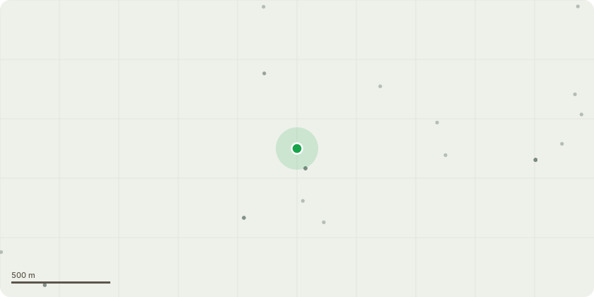
Approximate location
Proposal
Digging of 6 ponds to create wildlife enhancements in farmed landscape. Why necessary for agriculture: See cover note. In summary, Lambert Hill Farm, is a mixed farm site is 14.6 ha of permanent pasture used for grazing animals. Parcel A lies within the floodplain of the River Esk and Parcel B sits along a valley of a tributary of the River Esk. Parcel A lies within Flood zones 2 and 3, which indicates a high risk of flooding from rivers and sea. Sections of both parcels are also at high risk of flooding from surface water. Creating ponds within this area will contain the water and provide a drinking source for livestock grazing the fields of which the pond is located. This will increase productivity of the field as well as promote wildlife on the farm, and agri-environmental benefits essential to a sustainable farming business.Why designed for agriculture: See cover note and above. The pond has been designed for the purposes of agricultural to provide a drinking source to support the livestock grazing the existinggrassland parcels. The drawdown and degree of slope will ensure livestock can access safely.
Key dates
- Received 5 Jul 2024
- Validated 5 Jul 2024
- Started 5 Jul 2024
- Decided 2 Aug 2024
Planning history / related applications
No related planning applications have been identified in the current public OGL dataset.
Inside plotEdge
Go beyond the public record
This page is the public OGL record. plotEdge adds the private intelligence layer for this site - open it in the app to unlock:
- Ownership & title Registered owner and title from HM Land Registry.
- Viability & build potential Site scoring and development upside.
- Constraints Flood risk, green belt, conservation areas and designations.
- Approval signal Planning risk and approval-likelihood analysis.
- Comparable applications Decisions on similar nearby sites, side by side.
- Status alerts Get notified the moment this application changes.
Source: public planning application data from North Yorkshire, reused under the Open Government Licence v3.0. View the council source record. Council documents and drawings are not republished on plotEdge.