North Warwickshire
North Warwickshire/2026/0201/TPO
Coleshill Road Ansley Common Nuneaton
- Reference
- North Warwickshire/2026/0201/TPO
- Authority
- North Warwickshire
- Application type
- Tree Preservation Order Works Application
- Address
- Coleshill Road Ansley Common Nuneaton
- Status
- To be determined
- Decision
- To be determined
- Received
- 12 Mar 2026
- Started
- 12 Mar 2026
- Source council
- North Warwickshire
- Council source record
- View public record
- Public data licence
- Open Government Licence v3.0
- Record updated
- 6 Aug 2026
- SEO index generated
- 7 Aug 2026
Location
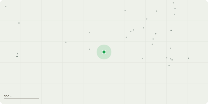
Approximate location
Proposal
The proposed tree works are associated with the installation of a 16.6km long below-ground pipeline from the Oldbury DSR (Distribution Service Reservoir) to the Meriden DSR. The pipeline installation will comprise permitted development under Schedule 2, Part 13, Class A(a) of the Town and Country Planning (General Permitted Development) (England) Order 2015 (GDPO). The proposed scheme has been confirmed as not Environmental Impact Assessment (EIA) development by all of the affected Local Planning Authorities: North Warwickshire Borough Council (reference: PRE/2025/0106), Nuneaton and Bedworth Borough Council (reference: 227412), Solihull Metropolitan Borough Council (reference: PL/2025/01460/EIASCR) and Coventry City Council (reference PL/2025/0001477/SCR). Where the proposed route crosses Coleshill Road, East of Ansley Common, the proposed route was initially going to be drilled to avoid impacting the Seven Foot Wood and highway. However, due to the potential for underground coal mining to have been undertaken in the area, the risk of encountering voids with directional drilling is substantial. Whilst there may be some mitigation measures (drill and grout) that could be undertaken to reduce the risks proposed by this method, the plant, equipment and working area required to do so is the equivalent to that required for ‘open cut’ installation methods i.e. removal of trees/vegetation. A trenchless installation method in this location has therefore been discounted to avoid risk associated with historic coal mining. The requirement for tree removal in the TPO areas area to facilitate the pipeline installation is as follows: - South of Coleshill Road – 9 individual oak trees (marked on site) and various understorey, including holly and hawthorn, comprising approximately 0.0391ha. In addition, Severn Trent needs to remove the lowest branch of the oak tree at the western edge of the working area. - North of Coleshill Road – 14 silver birch, 1 beech, 1 goat willow, 2 ash, 1 field maple, 1 sycamore, 1 hawthorn, comprising approximately 0.0244ha - Around old Railway Line – 2 silver birch, 6 goat willow, 5 hawthorn, plus a number of smaller elder and hawthorn scrub comprising approximately 0.0432ha
Key dates
- Received 12 Mar 2026
- Started 12 Mar 2026
Planning history / related applications
No related planning applications have been identified in the current public OGL dataset.
Inside plotEdge
Go beyond the public record
This page is the public OGL record. plotEdge adds the private intelligence layer for this site - open it in the app to unlock:
- Ownership & title Registered owner and title from HM Land Registry.
- Viability & build potential Site scoring and development upside.
- Constraints Flood risk, green belt, conservation areas and designations.
- Approval signal Planning risk and approval-likelihood analysis.
- Comparable applications Decisions on similar nearby sites, side by side.
- Status alerts Get notified the moment this application changes.
Source: public planning application data from North Warwickshire, reused under the Open Government Licence v3.0. View the council source record. Council documents and drawings are not republished on plotEdge.