North Somerset
North Somerset/26/P/1729/MOD
Locking Parklands Locking Moor Road Weston-super-Mare
- Reference
- North Somerset/26/P/1729/MOD
- Authority
- North Somerset
- Application type
- MOD
- Address
- Locking Parklands Locking Moor Road Weston-super-Mare
- Status
- Registered
- Received
- 13 Aug 2026
- Started
- 13 Aug 2026
- Source council
- North Somerset
- Council source record
- View public record
- Public data licence
- Open Government Licence v3.0
- Record updated
- 26 Aug 2026
- SEO index generated
- 27 Aug 2026
Location
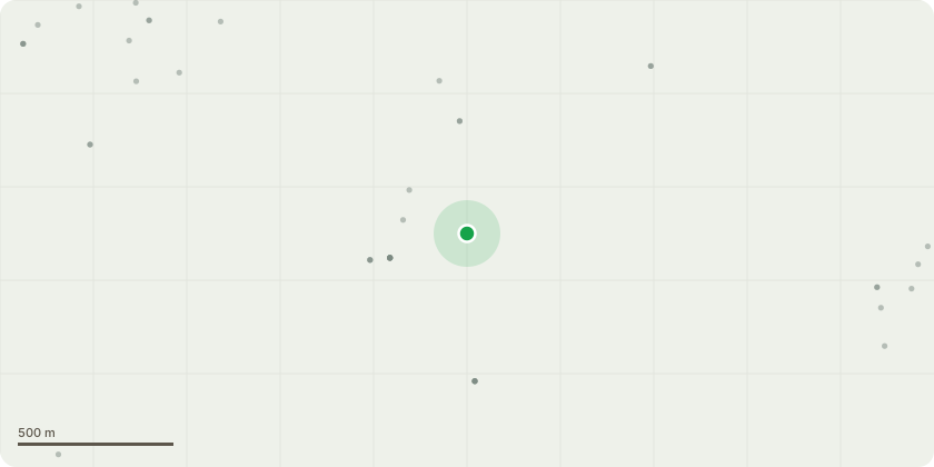
Approximate location
Proposal
Modification of Section 106 legal agreement dated 16/07/2015 relating to planning permission 13/P/0997/OT2 to: amend so that the Affordable Rent units can be delivered as Social Rent units with rent charged at 105% of Target Rents; amend so that the Shared Ownership rents can be charged at 2.75% of the retained equity; remove the restriction requiring for the Shared Ownership dwellings to be sold at no more than 40% of open market value; clarify that Shared Ownership purchasers may staircase to 100%; remove all references to Help to Buy South; remove any restrictions preventing Affordable Rent tenants from excessing their right to acquire and right to Shared Ownership; amend the requirement for Affordable Rent units to be retained in perpetuity; amend the provisions relating to Recycled Capital Grant Fund Receipts so that any recycled capital grant receipts may be applied solely within the Council's administrative area; insert a provision confirming that the non-Affordable Housing obligations should not bind the Registered Provider or their mortgagees and insert a provision confirming that the Affordable Housing obligations shall not bind: Purchasers who have staircased to 100% ownership; Those exercising the Right to Buy, Right to Acquire or Right to Shared Ownership; Their mortgagees; or Successors in title
Key dates
- Received 13 Aug 2026
- Started 13 Aug 2026
Planning history / related applications
No related planning applications have been identified in the current public OGL dataset.
Inside plotEdge
Go beyond the public record
This page is the public OGL record. plotEdge adds the private intelligence layer for this site - open it in the app to unlock:
- Ownership & title Registered owner and title from HM Land Registry.
- Viability & build potential Site scoring and development upside.
- Constraints Flood risk, green belt, conservation areas and designations.
- Approval signal Planning risk and approval-likelihood analysis.
- Comparable applications Decisions on similar nearby sites, side by side.
- Status alerts Get notified the moment this application changes.
Source: public planning application data from North Somerset, reused under the Open Government Licence v3.0. View the council source record. Council documents and drawings are not republished on plotEdge.