North Somerset
North Somerset/26/P/1230/TPO
Eden Business Park Macrae Road Pill
- Reference
- North Somerset/26/P/1230/TPO
- Authority
- North Somerset
- Application type
- Tree preservation order
- Address
- Eden Business Park Macrae Road Pill
- Status
- Registered
- Received
- 18 Jun 2026
- Started
- 18 Jun 2026
- Source council
- North Somerset
- Council source record
- View public record
- Public data licence
- Open Government Licence v3.0
- Record updated
- 6 Aug 2026
- SEO index generated
- 7 Aug 2026
Location
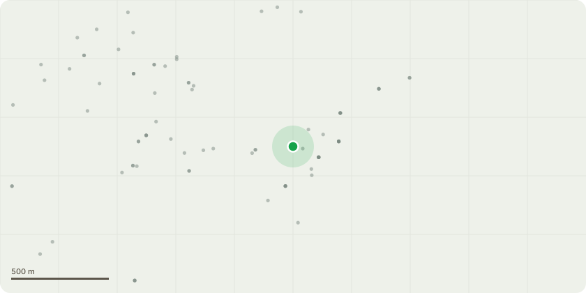
Approximate location
Proposal
T55 - Remove dead branches overhangingpublic footpath.T118 - Crown lift to achieve a 3-meterclearance from ground level.T133 - Remove multiple dead branchesoverhanging seating area.T134 - Remove dead branches overhangingcar park and seating area.T8 - Crown lift to achieve a 3-m clearancefrom car park.T20 - Reduce lateral branches to achieve aone meter clearance from the adjacent lamppost.T45 - Reduce lower lateral growth onroadside by approximately 0.5 meters or tocurb line.T47 - Reduce low hanging branches onaccess road side only by approximately 0.5meters or to the nearest suitable pruningpoint.T52 - Reduce lateral branches to achieve a2-m clearance from lamp post. Crown lift toachieve a 3 m clearance from public footpath.T64 - Crown lift to achieve a four meterclearance from the bin storage area.T66 - Remove all dead branches greater than25 millimeters in diameter throughout canopy.T67 - Remove dead branches greater than 25mm in diameter. Remove partially snappedbranch that is resting in adjacent tree.T71 - Crown lift to achieve a four meterclearance from the access road.T90 - Crown lift to achieve a 3 meterclearance from access road through car park.T91 - Crown lift to achieve a 4 m clearancefrom access road and the three meterclearance from car parking space.T94 - Fell to ground level.T96 - Crown lift to achieve a 3.5 meterclearance from the car park.T104 - Crown lift to achieve a 2 meterclearance from the security fence around theextractor fan unit. Reduce lateral growth toachieve a 2-m clearance from the adjacentbuilding.T117 - Fell to ground level. - Poor crown vitality due to Ash die back disease.G7 - Remove fallen Ash stem from the roof ofbuilding. Reduce all trees to achieve a2-mclearance from the building.T4 - Reduce to a final height of approximately2 meters from ground level.T11 - Reduce lateral growth to achieve a2-mclearance from the adjacent lamp post.T19 - Crown lift to achi
Key dates
- Received 18 Jun 2026
- Started 18 Jun 2026
Planning history / related applications
No related planning applications have been identified in the current public OGL dataset.
Inside plotEdge
Go beyond the public record
This page is the public OGL record. plotEdge adds the private intelligence layer for this site - open it in the app to unlock:
- Ownership & title Registered owner and title from HM Land Registry.
- Viability & build potential Site scoring and development upside.
- Constraints Flood risk, green belt, conservation areas and designations.
- Approval signal Planning risk and approval-likelihood analysis.
- Comparable applications Decisions on similar nearby sites, side by side.
- Status alerts Get notified the moment this application changes.
Source: public planning application data from North Somerset, reused under the Open Government Licence v3.0. View the council source record. Council documents and drawings are not republished on plotEdge.