North Somerset
North Somerset/26/P/0887/NMA
Land South Of Bristol Road And North Of Bath Road Churchill
- Reference
- North Somerset/26/P/0887/NMA
- Authority
- North Somerset
- Application type
- Non-material amendment
- Address
- Land South Of Bristol Road And North Of Bath Road Churchill
- Status
- Decided
- Decision
- Approve
- Received
- 27 Apr 2026
- Validated
- 27 Apr 2026
- Started
- 27 Apr 2026
- Decided
- 18 May 2026
- Source council
- North Somerset
- Council source record
- View public record
- Public data licence
- Open Government Licence v3.0
- Record updated
- 6 Aug 2026
- SEO index generated
- 7 Aug 2026
Location
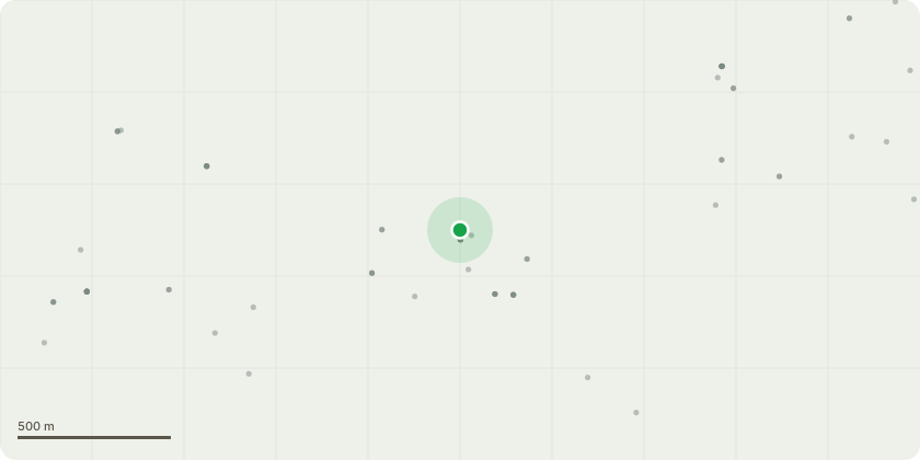
Approximate location
Proposal
Non-material amendment to application 22/P/0564/OUT (Outline planning application for the development of up to 68 no. dwellings supported by the provision of highways, open space, ecological enhancement and associated and ancillary infrastructure, with access for approval off A368 (Bath Road); with appearance, landscaping, layout and scale reserved for subsequent approval). To allow for a change to the wording of condition 24 relating to drainage to allow for a temporary drainage solution. Proposed wording to be: No above ground work shall take place until surface water drainage works have been implemented in accordance with details that have first been submitted to, and approved in writing, by the local planning authority, or in accordance with a temporary surface water drainage strategy that has first been submitted to, and approved in writing, by the local planning. Before these details are submitted, an assessment shall be carried out of the potential for disposing of surface water by means of a sustainable drainage system in accordance with the principles set out in the National Planning Policy Framework, associated Planning Practice Guidance and the non-statutory technical standards for sustainable drainage systems, and the results of the assessment provided to the local planning authority. Where a sustainable drainage scheme is to be provided, the system shall be designed such that there is no surcharging for a 1 in 30 year event and no internal property flooding for a 1 in 100 year event + 40% allowance for climate change. The submitted details shall: i. provide information about the design storm period and intensity, the method employed to delay and control the surface water discharged from the site to greenfield run off rates and volumes, taking into account long-term storage, and urban creep and the measures taken to prevent pollution of the receiving groundwater and/or surface waters; and ii. include a timetable for its implementation.
Key dates
- Received 27 Apr 2026
- Validated 27 Apr 2026
- Started 27 Apr 2026
- Decided 18 May 2026
Planning history / related applications
No related planning applications have been identified in the current public OGL dataset.
Inside plotEdge
Go beyond the public record
This page is the public OGL record. plotEdge adds the private intelligence layer for this site - open it in the app to unlock:
- Ownership & title Registered owner and title from HM Land Registry.
- Viability & build potential Site scoring and development upside.
- Constraints Flood risk, green belt, conservation areas and designations.
- Approval signal Planning risk and approval-likelihood analysis.
- Comparable applications Decisions on similar nearby sites, side by side.
- Status alerts Get notified the moment this application changes.
Source: public planning application data from North Somerset, reused under the Open Government Licence v3.0. View the council source record. Council documents and drawings are not republished on plotEdge.