North Somerset
North Somerset/25/P/2047/NMA
Land To The East Of Scot Elm Drive Weston-super-Mare
- Reference
- North Somerset/25/P/2047/NMA
- Authority
- North Somerset
- Application type
- Non-material amendment
- Address
- Land To The East Of Scot Elm Drive Weston-super-Mare
- Status
- Decided
- Decision
- Approve
- Received
- 2 Oct 2025
- Validated
- 9 Oct 2025
- Started
- 9 Oct 2025
- Decided
- 25 Feb 2026
- Source council
- North Somerset
- Council source record
- View public record
- Public data licence
- Open Government Licence v3.0
- Record updated
- 6 Aug 2026
- SEO index generated
- 7 Aug 2026
Location
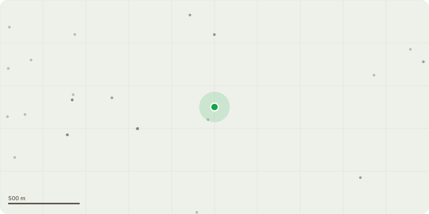
Approximate location
Proposal
Non-material amendment to application 21/P/2219/OUT (Hybrid planning application on land known as Pinnacle comprising: Phase 1 - FULL APPLICATION for the erection of 3no buildings, with the following uses; Class E(g)(i) (Offices to carry out any operational or administrative functions), E(g)(ii) (Research and development of products or processes), E(g)(iii) (Industrial processes) - uses which can be carried out in a residential area without detriment to its residential amenity; Class B2 (General Industrial) Use for industrial process other than one falling within class E(g) and Class B8 (storage and distribution), yard space and related infrastructure and landscaping - Phase 2 - OUTLINE APPLICATION for the erection of buildings, up to 2,808m2 gross floor area, with uses under Class E(g)(i) (Offices to carry out any operational or administrative functions), E(g)(ii) (Research and development of products or processes), E(g)(iii) (Industrial processes) - uses which can be carried out in a residential area without detriment to its residential amenity; Class B2 (General Industrial) Use for industrial process other than one falling within class E(g) and Class B8 storage and distribution, yard space and related infrastructure and landscaping with access for approval; and appearance, layout, scale and landscaping reserved for subsequent approval.) to allow for the following amendments :- Introduction of allocated pedestrian crossing points and wayfaring to improve pedestrian safety and revision of refuse and cycle parking areas to provide secure and overlooked facilities. Relocation of car parking to facilitate access to roller shutter doors on the eastern elevations. Relocation of EV chargers to the north of the scheme to allow them to be unallocated and available to any occupier to include a an active disabled EV charging space. Substitute gravel for grasscrete within the storage yard area to provide a quieter surface.
Key dates
- Received 2 Oct 2025
- Validated 9 Oct 2025
- Started 9 Oct 2025
- Decided 25 Feb 2026
Planning history / related applications
No related planning applications have been identified in the current public OGL dataset.
Inside plotEdge
Go beyond the public record
This page is the public OGL record. plotEdge adds the private intelligence layer for this site - open it in the app to unlock:
- Ownership & title Registered owner and title from HM Land Registry.
- Viability & build potential Site scoring and development upside.
- Constraints Flood risk, green belt, conservation areas and designations.
- Approval signal Planning risk and approval-likelihood analysis.
- Comparable applications Decisions on similar nearby sites, side by side.
- Status alerts Get notified the moment this application changes.
Source: public planning application data from North Somerset, reused under the Open Government Licence v3.0. View the council source record. Council documents and drawings are not republished on plotEdge.