North Norfolk
North Norfolk/TW/26/0281
Remains Of St Marys Priory Sunk Road Walsingham Norfolk
- Reference
- North Norfolk/TW/26/0281
- Authority
- North Norfolk
- Address
- Remains Of St Marys Priory Sunk Road Walsingham Norfolk
- Status
- Unknown
- Decision
- Raise No Objection
- Received
- 6 Feb 2026
- Validated
- 6 Feb 2026
- Started
- 6 Feb 2026
- Decided
- 13 Mar 2026
- Source council
- North Norfolk
- Council source record
- View public record
- Public data licence
- Open Government Licence v3.0
- Record updated
- 6 Aug 2026
- SEO index generated
- 7 Aug 2026
Location
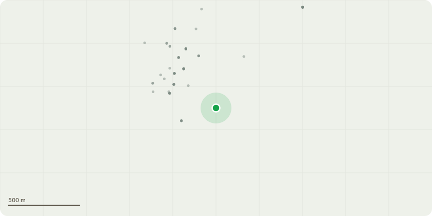
Approximate location
Proposal
T1 - Common Lime (0138), Remove - T2 -Common Lime (0139), Sever Ivy to enable detailed inspection within 1 month - T3 - English Oak (0004), Prune Back to Suitable Growth Point - south and southeast extent of the lowest south limb by 2m - T4 -Atlas Cedar (0111) - Having been subject to several named storms since the last inspection during 2025. I recommend an arborist be appointed to remove instances of dead wood greater than 20mm diameter, also targeting crossing damaged hung up branches. Arborist to inspect limbs and unions, especially the large south limb and its point of attachment upon the main stem. Arborist to document and report any significant defects or areas of concern back to the consulting arborist. Continue to inspect at survey intervals and after high wind/storm events, record date of visual inspections - T5 - Horse Chestnut (0203), Stabilty undermined by river culvert / excavation. Reduce crown height by 6 metres to reduce wind throw as uprooting failure could result in damage to sluice / foot bridge. Within 6months
Key dates
- Received 6 Feb 2026
- Validated 6 Feb 2026
- Started 6 Feb 2026
- Decided 13 Mar 2026
Planning history / related applications
No related planning applications have been identified in the current public OGL dataset.
Inside plotEdge
Go beyond the public record
This page is the public OGL record. plotEdge adds the private intelligence layer for this site - open it in the app to unlock:
- Ownership & title Registered owner and title from HM Land Registry.
- Viability & build potential Site scoring and development upside.
- Constraints Flood risk, green belt, conservation areas and designations.
- Approval signal Planning risk and approval-likelihood analysis.
- Comparable applications Decisions on similar nearby sites, side by side.
- Status alerts Get notified the moment this application changes.
Source: public planning application data from North Norfolk, reused under the Open Government Licence v3.0. View the council source record. Council documents and drawings are not republished on plotEdge.