North East Lincolnshire
North East Lincolnshire/DM/0625/26/TPO
1 Green Acres Waltham Grimsby North East Lincolnshire DN37 0QG
- Reference
- North East Lincolnshire/DM/0625/26/TPO
- Authority
- North East Lincolnshire
- Application type
- Tree preservation order
- Address
- 1 Green Acres Waltham Grimsby North East Lincolnshire DN37 0QG
- Postcode
- DN37 0QG
- Status
- Pending Consideration
- Received
- 12 Aug 2026
- Started
- 12 Aug 2026
- Source council
- North East Lincolnshire
- Council source record
- View public record
- Public data licence
- Open Government Licence v3.0
- Record updated
- 15 Aug 2026
- SEO index generated
- 19 Aug 2026
Location
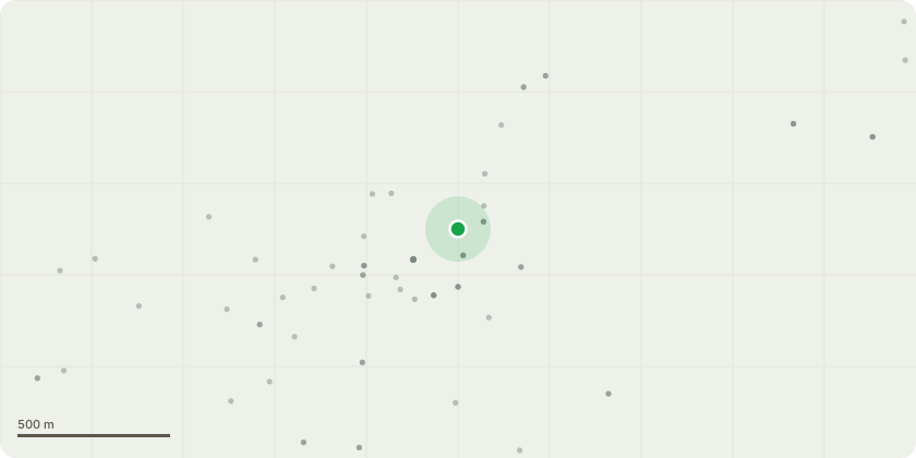
Approximate location
Proposal
am writing regarding a large spruce at 1 Green Acres, Waltham, DN37 0QG. The tree is very large and mature and is situated close to the property. Its dense canopy causes substantial shading and a significant loss of natural daylight to the house and garden. I would be grateful if you could confirm whether this spruce is covered by a Tree Preservation Order and, if so, provide the TPO reference and plan identifying the tree. I would also like to request that a Tree Officer inspects the tree and considers whether removal would be appropriate given its current size, proximity to the property and the significant shading it causes. I note that the Council has previously permitted the removal and reduction of TPO-protected trees at 4 and 5 Green Acres where shading and proximity to properties were relevant considerations, including application DM/0101/20/TPO at 4 Green Acres. If removal were considered appropriate, I would be happy to discuss suitable replacement planting in a more appropriate location.
Key dates
- Received 12 Aug 2026
- Started 12 Aug 2026
Planning history / related applications
No related planning applications have been identified in the current public OGL dataset.
Inside plotEdge
Go beyond the public record
This page is the public OGL record. plotEdge adds the private intelligence layer for this site - open it in the app to unlock:
- Ownership & title Registered owner and title from HM Land Registry.
- Viability & build potential Site scoring and development upside.
- Constraints Flood risk, green belt, conservation areas and designations.
- Approval signal Planning risk and approval-likelihood analysis.
- Comparable applications Decisions on similar nearby sites, side by side.
- Status alerts Get notified the moment this application changes.
Source: public planning application data from North East Lincolnshire, reused under the Open Government Licence v3.0. View the council source record. Council documents and drawings are not republished on plotEdge.