Newham
Newham/26/00439/AOD
Land At Bridgewater Triangle Bridgewater Road Stratford London E15 2NJ
- Reference
- Newham/26/00439/AOD
- Authority
- Newham
- Application type
- AOD
- Address
- Land At Bridgewater Triangle Bridgewater Road Stratford London E15 2NJ
- Postcode
- E15 2NJ
- Received
- 24 Feb 2026
- Validated
- 24 Feb 2026
- Started
- 24 Feb 2026
- Source council
- Newham
- Council source record
- View public record
- Public data licence
- Open Government Licence v3.0
- Record updated
- 11 Aug 2026
- SEO index generated
- 12 Aug 2026
Location
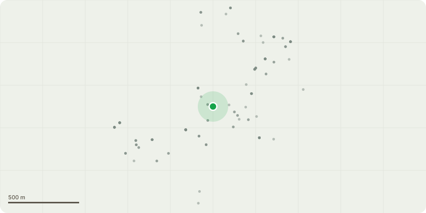
Approximate location
Proposal
Approval of details pursuant to Condition 13 (Site Waste Management Plan), Condition 16 (Air Quality Positive), Condition 24 (Surface and Foul Water Drainage Details), Condition 33 (Fabric Energy Efficiency Standards (FEES)), Condition 34 (Code for Sustainable Homes - Equivalent), Condition 35 (Water Usage), Condition 36 (Green Infrastructure), Condition 38 (Biodiverse Roof Space), Condition 40 (Lighting Strategy), Condition 42 (Car Parking Design and Management Plan), Condition 45 (Electric Charging Point Provision), Condition 46 (Electric Charging Standards), Condition 47 (Delivery and Servicing Strategy), Condition 49 (Sound Insulation and Internal Noise Levels) relating to design requirements only, Condition 53 (Play Space Delivery Strategy), Condition 56 (Wind Mitigation Details), Condition 57 (Additional Wind Mitigation Modelling and Mitigation), Condition 58 (Emergency Flood Management Plan), Condition 64 (Arboricultural Report), Condition 65 (Flood Resilience), Condition 68 (Detailed Circular Economy Statement) and Condition 70 (Detailed Whole Life Carbon Assessment) attached to Planning Consent 21/00403/OUT_LLDC dated 13th April 2023.
Key dates
- Received 24 Feb 2026
- Validated 24 Feb 2026
- Started 24 Feb 2026
Planning history / related applications
No related planning applications have been identified in the current public OGL dataset.
Inside plotEdge
Go beyond the public record
This page is the public OGL record. plotEdge adds the private intelligence layer for this site - open it in the app to unlock:
- Ownership & title Registered owner and title from HM Land Registry.
- Viability & build potential Site scoring and development upside.
- Constraints Flood risk, green belt, conservation areas and designations.
- Approval signal Planning risk and approval-likelihood analysis.
- Comparable applications Decisions on similar nearby sites, side by side.
- Status alerts Get notified the moment this application changes.
Source: public planning application data from Newham, reused under the Open Government Licence v3.0. View the council source record. Council documents and drawings are not republished on plotEdge.