Newcastle-under-Lyme
Newcastle-under-Lyme/26/00601/TWA
Foxdene Snape Hall Road Baldwins Gate Newcastle Under Lyme Staffordshire ST5 5HS
- Reference
- Newcastle-under-Lyme/26/00601/TWA
- Authority
- Newcastle-under-Lyme
- Application type
- TWA
- Address
- Foxdene Snape Hall Road Baldwins Gate Newcastle Under Lyme Staffordshire ST5 5HS
- Postcode
- ST5 5HS
- Status
- Pending Consideration
- Received
- 19 Aug 2026
- Started
- 19 Aug 2026
- Source council
- Newcastle-under-Lyme
- Council source record
- View public record
- Public data licence
- Open Government Licence v3.0
- Record updated
- 25 Aug 2026
- SEO index generated
- 29 Aug 2026
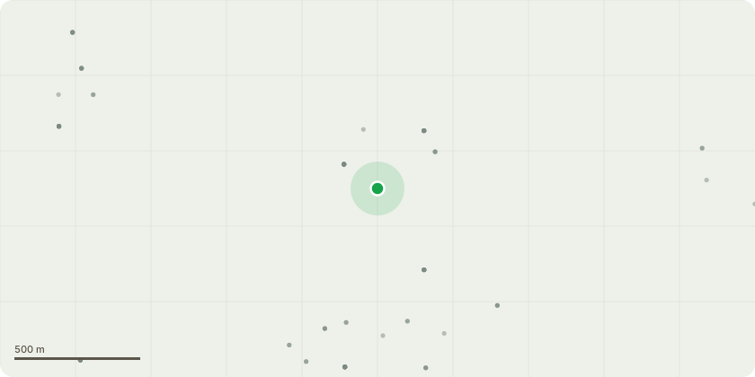
Location
Approximate location
Proposal
During the recent spell of hot weather, a beech tree at the named property has had one of the stems fail and fall into the adjacent field, this has split at approx. 3m leaving a large cavity and not much strength wood to support the remaining tree and canopy.I would like to do a crown reduction by 3m on the canopy nearest the house but reduce the height by 4m, to protect the property from future possible damage caused by the failing stem which has now exposed a cavity and core wood open to the elements, the remaining timber holding the stem is diminished leaving 40% left supporting the remainder of the tree.We will monitor the tree annually for and changes in condition and under the grounds of health and safety for our client HS2 .
Key dates
- Received 19 Aug 2026
- Started 19 Aug 2026
Planning history / related applications
No related planning applications have been identified in the current public OGL dataset.
Inside plotEdge
Go beyond the public record
This page is the public OGL record. plotEdge adds the private intelligence layer for this site - open it in the app to unlock:
- Ownership & title Registered owner and title from HM Land Registry.
- Viability & build potential Site scoring and development upside.
- Constraints Flood risk, green belt, conservation areas and designations.
- Approval signal Planning risk and approval-likelihood analysis.
- Comparable applications Decisions on similar nearby sites, side by side.
- Status alerts Get notified the moment this application changes.
Source: public planning application data from Newcastle-under-Lyme, reused under the Open Government Licence v3.0. View the council source record. Council documents and drawings are not republished on plotEdge.