Newark and Sherwood
Newark and Sherwood/26/01674/TWCA
1 Station Road Southwell NG25 0ET
- Reference
- Newark and Sherwood/26/01674/TWCA
- Authority
- Newark and Sherwood
- Application type
- TWCA
- Address
- 1 Station Road Southwell NG25 0ET
- Postcode
- NG25 0ET
- Received
- 13 Oct 2026
- Validated
- 14 Oct 2026
- Started
- 14 Oct 2026
- Source council
- Newark and Sherwood
- Council source record
- View public record
- Public data licence
- Open Government Licence v3.0
- Record updated
- 15 Oct 2026
- SEO index generated
- 20 Oct 2026
Location
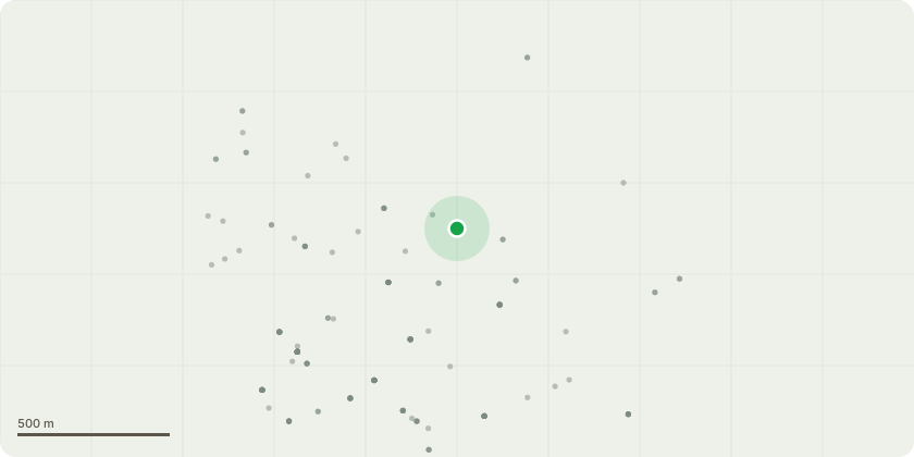
Approximate location
Proposal
Tree 1, Mature Conifer. Located midway along southern boundary, to rear of property.We would wish to sectional fell the tree to ground level.This done to prioritise more valued tree specimens currently being over grown by T1, amongst others some Weeping Birch forming structured archway to rear portion of garden.The tree has also reached a size that the lower crown is shading lawns and borders, limiting planting of more favoured shrubs and plants. The tree is growing hard against the boundary wall, the owner has concerns about future damage to the wall caused by the tree.What was once a pleasant addition has become too large for its position and use in the garden.
Key dates
- Received 13 Oct 2026
- Validated 14 Oct 2026
- Started 14 Oct 2026
Planning history / related applications
No related planning applications have been identified in the current public OGL dataset.
Inside plotEdge
Go beyond the public record
This page is the public OGL record. plotEdge adds the private intelligence layer for this site - open it in the app to unlock:
- Ownership & title Registered owner and title from HM Land Registry.
- Viability & build potential Site scoring and development upside.
- Constraints Flood risk, green belt, conservation areas and designations.
- Approval signal Planning risk and approval-likelihood analysis.
- Comparable applications Decisions on similar nearby sites, side by side.
- Status alerts Get notified the moment this application changes.
Source: public planning application data from Newark and Sherwood, reused under the Open Government Licence v3.0. View the council source record. Council documents and drawings are not republished on plotEdge.