Newark and Sherwood
Newark and Sherwood/26/00597/TWCA
South Muskham Prebend Church Street Southwell
- Reference
- Newark and Sherwood/26/00597/TWCA
- Authority
- Newark and Sherwood
- Application type
- TWCA
- Address
- South Muskham Prebend Church Street Southwell
- Decision
- No Objection
- Received
- 23 Apr 2026
- Validated
- 24 Apr 2026
- Started
- 24 Apr 2026
- Decided
- 21 May 2026
- Source council
- Newark and Sherwood
- Council source record
- View public record
- Public data licence
- Open Government Licence v3.0
- Record updated
- 6 Aug 2026
- SEO index generated
- 7 Aug 2026
Location
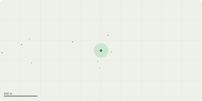
Approximate location
Proposal
T1 Acer (Maple)Situated adjacent to a residential dwelling, within close proximity to apartment buildings. This is a mature specimen that has previously undergone pruning works and responded well, demonstrating good vitality and recovery.Proposed Works:Crown reduction of up to 3 metres, reducing back to appropriate growth points while maintaining the natural form and shape of the tree. Works will aim to balance the crown, reduce end-weight, and ensure continued suitability for its location adjacent to built structuresT2 Acer (Maple)Located adjacent to the highway and overhanging the pedestrian footpath. The tree has been previously managed and exhibits established pruning points.Proposed Works:Crown reduction of approximately 1 metre, pruning back to previous reduction points where appropriate. Works will maintain clearance over the highway and footpath while preserving the tree's natural form and amenity value.
Key dates
- Received 23 Apr 2026
- Validated 24 Apr 2026
- Started 24 Apr 2026
- Decided 21 May 2026
Planning history / related applications
No related planning applications have been identified in the current public OGL dataset.
Inside plotEdge
Go beyond the public record
This page is the public OGL record. plotEdge adds the private intelligence layer for this site - open it in the app to unlock:
- Ownership & title Registered owner and title from HM Land Registry.
- Viability & build potential Site scoring and development upside.
- Constraints Flood risk, green belt, conservation areas and designations.
- Approval signal Planning risk and approval-likelihood analysis.
- Comparable applications Decisions on similar nearby sites, side by side.
- Status alerts Get notified the moment this application changes.
Source: public planning application data from Newark and Sherwood, reused under the Open Government Licence v3.0. View the council source record. Council documents and drawings are not republished on plotEdge.