Milton Keynes
Milton Keynes/PLN/2026/1358
Land between Lower End Road, Wavendon and Tavistock Close, Woburn Sands and Along Cranfield Road, Woburn Sands
- Reference
- Milton Keynes/PLN/2026/1358
- Authority
- Milton Keynes
- Application type
- Notification of proposed works to trees protected by a Tree Preservation Order
- Address
- Land between Lower End Road, Wavendon and Tavistock Close, Woburn Sands and Along Cranfield Road, Woburn Sands
- Status
- Under Consultation
- Source council
- Milton Keynes
- Council source record
- View public record
- Public data licence
- Open Government Licence v3.0
- Record updated
- 6 Aug 2026
- SEO index generated
- 7 Aug 2026
Location
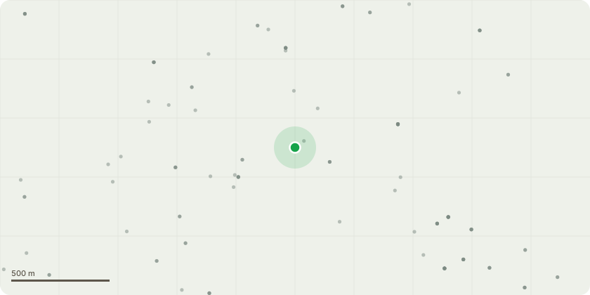
Approximate location
Proposal
The reduction of sub-dominant western stem by 3m of Sycamore (T9 - tag no. 104, Part of the sites Group TPO ref: PS/540/15/42), felling to ground of dead English Oak (T34, Individual TPO ref: PS/5450/15/99), diseased Ash (T134, Part of the sites Group TPO ref: PS/540/15/42) and Hybrid Black Poplar (T228 - tag no. 105, Part of the sites Group TPO ref: PS/540/15/42), crown clean of Sycamore (T39 - tag no. 107, Individual TPO ref: PS/5450/15/423), English Oak (T75 - tag no.114, Part of the sites Group TPO ref: PS/540/15/42), English Oak (T76 - tag no.113, Part of the sites Group TPO ref: PS/540/15/42) and English Oak (T136 - tag no. 122, Part of the sites Group TPO ref: PS/540/15/42), overall crown reduction by up to 2-3m, and crown clean of Horse Chestnut (T40 - tag no. 108, Part of the sites Group TPO ref: PS/540/15/42), the reduction of sub dominant stem from c. 5-6.5m on eastern aspect with hazard crack by 3-4m to suitable secondary growth, and crown clean of English Oak (T79 - tag no. 111, Individual TPO ref: PS/5450/15/99), crown reduction in height by c. 5-6m to mitigate the risk of failure of Horse Chestnut (T80 - tag no. 112, Individual TPO ref: PS/5450/15/99), reduction in height to 10.5m, above open cavities to create a monolith habitat structure, above c. 6.5m all lateral branches to be reduced to 3m with coronet cuts of English Oak (T139 - tag no. 119, Individual TPO ref: PS/5450/15/423), selective pruning of all lower branches back by 2m to provide clearance of gate of group G6 comprising Hornbeam, Hawthorn, Elder, and felling to ground level all dead standing trees within falling distance of public right of way and crown clean of group G27 comprising Corsican Pine, Scots Pine, Silver Birch, Ash & Sycamore trees protected by Milton Keynes Council Tree Preservation Order no. PS/540/15/42.
Planning history / related applications
No related planning applications have been identified in the current public OGL dataset.
Inside plotEdge
Go beyond the public record
This page is the public OGL record. plotEdge adds the private intelligence layer for this site - open it in the app to unlock:
- Ownership & title Registered owner and title from HM Land Registry.
- Viability & build potential Site scoring and development upside.
- Constraints Flood risk, green belt, conservation areas and designations.
- Approval signal Planning risk and approval-likelihood analysis.
- Comparable applications Decisions on similar nearby sites, side by side.
- Status alerts Get notified the moment this application changes.
Source: public planning application data from Milton Keynes, reused under the Open Government Licence v3.0. View the council source record. Council documents and drawings are not republished on plotEdge.