Milton Keynes
Milton Keynes/PLN/2026/0987
Lakes Estate, Stoke Road, Bletchley, Milton Keynes
- Reference
- Milton Keynes/PLN/2026/0987
- Authority
- Milton Keynes
- Application type
- Removal/variation of conditions
- Address
- Lakes Estate, Stoke Road, Bletchley, Milton Keynes
- Status
- Under Consultation
- Source council
- Milton Keynes
- Council source record
- View public record
- Public data licence
- Open Government Licence v3.0
- Record updated
- 14 Oct 2026
- SEO index generated
- 15 Oct 2026
Location
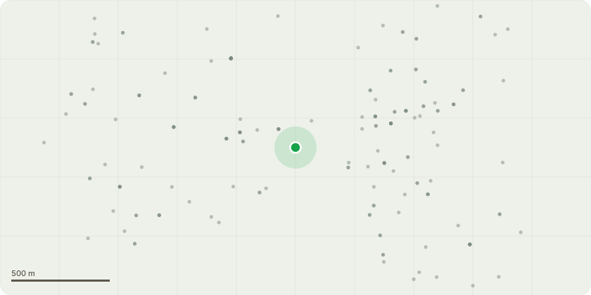
Approximate location
Proposal
Variation of condition 1 (Approved plans), condition 8 (Landscaping), condition 9 (Boundary treatments), condition 11 (Landscape management), condition 14 (Trees), condition 15 (SuDS), condition 16 (drainage), condition 19 (Lighting), condition 25 (Highways) seeking changes to car parking, landscape, highways layouts and associated drainage/ecology amendments arising from the need to provide car parking in a different location (relating to permission ref. 20/00942/OUT for the hybrid application for the redevelopment of the Lakes Estate, comprising: a) Full consent for development of 'Phase A' to provide 308 dwellings, 160sqm flexible retail floorspace, 613sqm community hub floorspace, 220sqm light industrial floorspace, 200sqm for a nursery and an energy centre, and various works; and b) Outline consent (all matters reserved except access, layout and scale) for the demolition of Serpentine Court and the development of 'Phase B' to provide 217 residential dwellings, an extra care facility providing 64 homes, 756sqm of flexible retail floorspace (Use Class A1-A5), car parking, cycle parking and associated landscaping)
Planning history / related applications
No related planning applications have been identified in the current public OGL dataset.
Inside plotEdge
Go beyond the public record
This page is the public OGL record. plotEdge adds the private intelligence layer for this site - open it in the app to unlock:
- Ownership & title Registered owner and title from HM Land Registry.
- Viability & build potential Site scoring and development upside.
- Constraints Flood risk, green belt, conservation areas and designations.
- Approval signal Planning risk and approval-likelihood analysis.
- Comparable applications Decisions on similar nearby sites, side by side.
- Status alerts Get notified the moment this application changes.
Source: public planning application data from Milton Keynes, reused under the Open Government Licence v3.0. View the council source record. Council documents and drawings are not republished on plotEdge.