Milton Keynes
Milton Keynes/PLN/2025/0340
Shenley Park, Land South-west of Milton Keynes, Buckinghamshire
- Reference
- Milton Keynes/PLN/2025/0340
- Authority
- Milton Keynes
- Application type
- Adjoining Authority Consultation
- Address
- Shenley Park, Land South-west of Milton Keynes, Buckinghamshire
- Status
- Decision Made
- Source council
- Milton Keynes
- Council source record
- View public record
- Public data licence
- Open Government Licence v3.0
- Record updated
- 6 Aug 2026
- SEO index generated
- 7 Aug 2026
Location
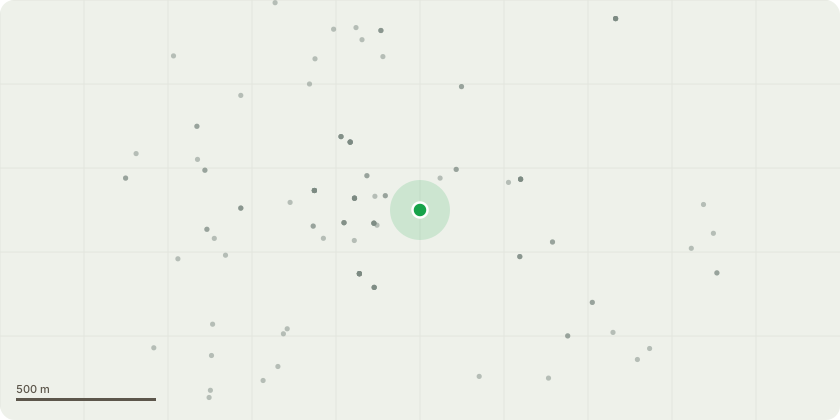
Approximate location
Proposal
Consultation from Buckinghamshire Council on application ref. 23/02180/AOP seeking permission for outline application (with all matters reserved save for "access"), for a Sustainable Urban Extension comprising residential development of up to 1,265 dwellings (Use Class C3), a mixed-use local centre (Class E(a) Display or retail sale of goods, other than hot food, E(b) Sale of food and drink for consumption (mostly) on the premises, E(c) provision of: E(c)(i) Financial services, E(c)(ii) professional services (other than health or medical services), or E(c)(iii) Other appropriate services in a commercial, business or service locality, E(e) Provision of medical or health services (except the use of premises attached to the residence of the consultant or practitioner), E(f) Creche, day nursery or day centre (not including a residential use)), sui-generis hot food takeaway, a care home / extra care provision, community and commercial uses, a primary school, vehicle accesses from and a link road between the A421 and H6 Childs Way, diversion of existing PROW and new pedestrian and cycle access points and routes, car and cycle parking, open space, sports provision, play areas, landscaping, plant, earthworks and ground remodelling, demolition of existing buildings, electrical substations, and associated infrastructure works. EIA development (AMENDED AND ADDITIONAL PLANS AND INFORMATION)
Planning history / related applications
No related planning applications have been identified in the current public OGL dataset.
Inside plotEdge
Go beyond the public record
This page is the public OGL record. plotEdge adds the private intelligence layer for this site - open it in the app to unlock:
- Ownership & title Registered owner and title from HM Land Registry.
- Viability & build potential Site scoring and development upside.
- Constraints Flood risk, green belt, conservation areas and designations.
- Approval signal Planning risk and approval-likelihood analysis.
- Comparable applications Decisions on similar nearby sites, side by side.
- Status alerts Get notified the moment this application changes.
Source: public planning application data from Milton Keynes, reused under the Open Government Licence v3.0. View the council source record. Council documents and drawings are not republished on plotEdge.