Mid Sussex
Mid Sussex/DM/25/0446
Burgess Hill Northern Arc, Land N And NW Of Burgess Hill, Between Bedelands Nature Reserve In The East And, Goddard's Green Waste Water Treatment Works In The West
- Reference
- Mid Sussex/DM/25/0446
- Authority
- Mid Sussex
- Address
- Burgess Hill Northern Arc, Land N And NW Of Burgess Hill, Between Bedelands Nature Reserve In The East And, Goddard's Green Waste Water Treatment Works In The West
- Status
- Approved
- Decision
- Permission
- Received
- 19 Feb 2025
- Validated
- 28 Feb 2025
- Started
- 28 Feb 2025
- Decided
- 24 Jun 2026
- Source council
- Mid Sussex
- Council source record
- View public record
- Public data licence
- Open Government Licence v3.0
- Record updated
- 6 Aug 2026
- SEO index generated
- 7 Aug 2026
Location
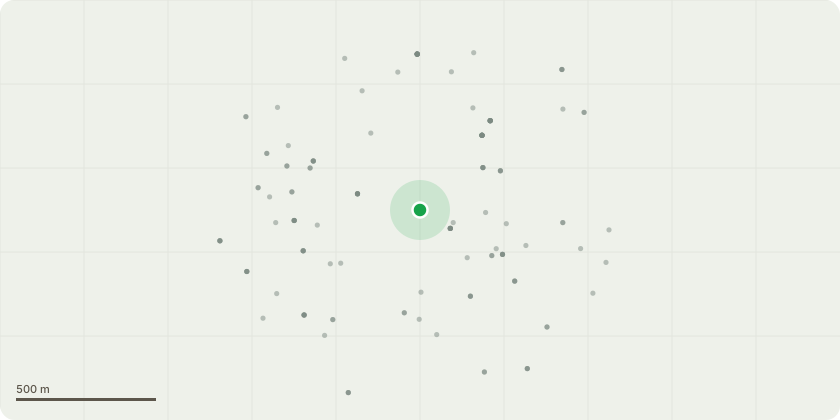
Approximate location
Proposal
The construction of a single carriageway link road from the tie-in with the proposed Western Bridge and Link Road (WBLR), through to the proposed tie-in with Eastern Bridge and Link Road (EBLR) including tie-ins to the existing B2036 Cuckfield Road. The primary east-west route will typically comprise of a new 6.5m carriageway with one 3m shared footway/cycleway and one 2m wide footway and two 2.75m verges. While the 6.5m wide carriageway will be consistent throughout, some sections of the primary east-west route will diverge from this typical arrangement to complement area specific requirements. The northern link to the B2036 Cuckfield Road from the proposed east-west road will consist of a new 6.5m wide carriageway and single 2m footway. The southern link to the B2036 Cuckfield Road from the proposed east-west road will consist of a new 6.5m wide carriageway and a short extension of the Green Super Highway extending to the driveway entrance servicing the existing Oak Barn Bar & Restaurant carpark. The western end of the east-west road corridor and the southern link to the B2036 Cuckfield Road will both facilitate connections to the Green Superhighway. All will be constructed to an adoptable standard, together with associated crossing points, earthworks and vegetation removal, surface water and foul drainage infrastructure, utilities corridors and diversions, road lighting, soft landscaping, including tree-planting and temporary fencing, on-street parking and provision of in-line bus stops for bus services. (Amended plans recieved 15/02/2026).
Key dates
- Received 19 Feb 2025
- Validated 28 Feb 2025
- Started 28 Feb 2025
- Decided 24 Jun 2026
Planning history / related applications
No related planning applications have been identified in the current public OGL dataset.
Inside plotEdge
Go beyond the public record
This page is the public OGL record. plotEdge adds the private intelligence layer for this site - open it in the app to unlock:
- Ownership & title Registered owner and title from HM Land Registry.
- Viability & build potential Site scoring and development upside.
- Constraints Flood risk, green belt, conservation areas and designations.
- Approval signal Planning risk and approval-likelihood analysis.
- Comparable applications Decisions on similar nearby sites, side by side.
- Status alerts Get notified the moment this application changes.
Source: public planning application data from Mid Sussex, reused under the Open Government Licence v3.0. View the council source record. Council documents and drawings are not republished on plotEdge.