Melton
Melton/26/00906/TCA
Street Record Folville Street Ashby Folville
- Reference
- Melton/26/00906/TCA
- Authority
- Melton
- Application type
- Trees in conservation area
- Address
- Street Record Folville Street Ashby Folville
- Status
- Unknown
- Received
- 28 Sept 2026
- Validated
- 28 Sept 2026
- Started
- 28 Sept 2026
- Source council
- Melton
- Council source record
- View public record
- Public data licence
- Open Government Licence v3.0
- Record updated
- 2 Oct 2026
- SEO index generated
- 7 Oct 2026
Location
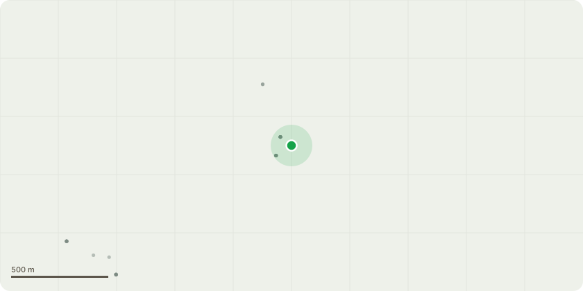
Approximate location
Proposal
T087 Horse chestnut (Aesculus hippocastanum) Ganoderma spp. At base on west side. Significant hollowing on North, East and West sides at base when sounded with a hammer. Bleeding canker observed around stem. Reduce by 4-5m in height Timescale: 24-Jan-2027 (6 Months) T124 Horse chestnut (Aesculus hippocastanum) Major tear out wound (historic) on north side at approx. 1.5m above ground level. Ganoderma Spp fungal fruiting bodies proliferating from base on north side. Tree was either topped or pollarded in the past. Approx 10 west of the edge of the highway Re pollard to previous pruning points to reduce sail area/forces acting upon the base/root plate. Timescale: 17-Feb-2027 (6 Months) T137 Cherry (Prunus sp. 'Cherry') Dead tree Remove tree to ground level Timescale: 17-Feb-2027 (6 Months) T142 Sycamore (Acer pseudoplatanus) Major deadwood throughout crown. Foliage in contact with BT wires. Remove major deadwood throughout crown. Prune to clear BT wires by 0.5m Timescale: 17-Feb-2027 (6 Months) T143 Common ash (Fraxinus excelsior) Large tree with a large spread. Major deadwood in crown over car parking space. Over extended limb over highway. Foliage in contact with BT wires. Remove major deadwood over highway and car park. Reduce over- extended limb over highway by 3m. Prune to clear bt wires by 0.5m Timescale: 17-Feb-2027 (6 Months) T146 European lime (Tilia x europaea) Major deadwood over the highway. Hung up branches in the tree. Remove major deadwood and hung-up branches over the highway. Timescale: 17-Nov-2026
Key dates
- Received 28 Sept 2026
- Validated 28 Sept 2026
- Started 28 Sept 2026
Planning history / related applications
No related planning applications have been identified in the current public OGL dataset.
Inside plotEdge
Go beyond the public record
This page is the public OGL record. plotEdge adds the private intelligence layer for this site - open it in the app to unlock:
- Ownership & title Registered owner and title from HM Land Registry.
- Viability & build potential Site scoring and development upside.
- Constraints Flood risk, green belt, conservation areas and designations.
- Approval signal Planning risk and approval-likelihood analysis.
- Comparable applications Decisions on similar nearby sites, side by side.
- Status alerts Get notified the moment this application changes.
Source: public planning application data from Melton, reused under the Open Government Licence v3.0. View the council source record. Council documents and drawings are not republished on plotEdge.