Medway
Medway/MC/25/2076
Land West Of Station Road Rainham Gillingham Medway
- Reference
- Medway/MC/25/2076
- Authority
- Medway
- Address
- Land West Of Station Road Rainham Gillingham Medway
- Decision
- Approval with Conditions
- Received
- 20 Oct 2025
- Validated
- 20 Oct 2025
- Started
- 20 Oct 2025
- Decided
- 12 Nov 2025
- Source council
- Medway
- Council source record
- View public record
- Public data licence
- Open Government Licence v3.0
- Record updated
- 6 Aug 2026
- SEO index generated
- 7 Aug 2026
Location
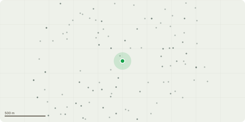
Approximate location
Proposal
Application for non-material amendment to planning permission MC/24/1050 to allow the following amendments Block 1 elevations amended and size reduced; plots 7-10 and parking bays set back 500mm from the adjacent footpath; crossing linking Block 3 and Block 2 relocated to allow for gradients adjacent to Plot 10; Off-plot bin stores for refuse collection adjusted; Size of visitor parking bays adjusted to 2m x 6m with 1m hardstanding; A limited number of trees removed from the edge of the site to accommodate underground geocellular surface water storage tanks and proposed public sewer diversion; Air source heat pumps added in all rear gardens; Blocks 2, 2H, 3, 4, and 7 reduced depth to accommodate minor unit changes; Divided housing Block 8 into two blocks (now known as Block 8 and Block 9) due to site levels; Amendments to road surface materials; Block 2 - from 3B/5P to 3B/4P; Block 3 - from 3B/6P to 2B/3P; Block 4 - from 3B/5P to 3B/4P; Block 5 - from 2B/4P to 3B/4P; Block 6 - from 2P/4P to 3B/4P; Block 7 - from 3B/6P to 2B/3P; Block 8/9 - from 2B/4P to 2B/3P; - Housing mix/size amended slightly to meet user/market requirements.
Key dates
- Received 20 Oct 2025
- Validated 20 Oct 2025
- Started 20 Oct 2025
- Decided 12 Nov 2025
Planning history / related applications
No related planning applications have been identified in the current public OGL dataset.
Inside plotEdge
Go beyond the public record
This page is the public OGL record. plotEdge adds the private intelligence layer for this site - open it in the app to unlock:
- Ownership & title Registered owner and title from HM Land Registry.
- Viability & build potential Site scoring and development upside.
- Constraints Flood risk, green belt, conservation areas and designations.
- Approval signal Planning risk and approval-likelihood analysis.
- Comparable applications Decisions on similar nearby sites, side by side.
- Status alerts Get notified the moment this application changes.
Source: public planning application data from Medway, reused under the Open Government Licence v3.0. View the council source record. Council documents and drawings are not republished on plotEdge.