Medway
Medway/CAN/26/1943
260 - 262 Nelson Road Gillingham Medway ME7 4NA
- Reference
- Medway/CAN/26/1943
- Authority
- Medway
- Address
- 260 - 262 Nelson Road Gillingham Medway ME7 4NA
- Postcode
- ME7 4NA
- Received
- 9 Oct 2026
- Validated
- 15 Oct 2026
- Started
- 15 Oct 2026
- Source council
- Medway
- Council source record
- View public record
- Public data licence
- Open Government Licence v3.0
- Record updated
- 17 Oct 2026
- SEO index generated
- 21 Oct 2026
Location
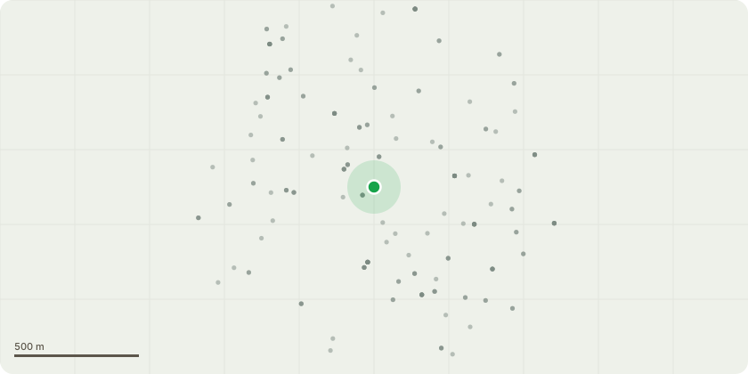
Approximate location
Proposal
T10 - Yew, T9 - London Plane, T8 - Laurel, T7 - London Plane, T6 - Sycamore, T5 - London Plane, T4 - Holly, T3 - Yew, T2 - SycamoreT1 - Yew, works have become necessary and urgent for the following tree branches are in direct contact with the roof and guttering of my property. Squirrels and other rodents are using the overhanging branches to gain access to the roof.The attached photographs show the branches extending over the property and making contact with the roof and guttering.The overhanging branches provide access for squirrels, rats, mice and other wildlife. Remove encroaching branches reduce contact with the property and deter access by rodents and other wildlife; Crown lift by removing or shortening appropriate lower branches to provide approximately 4 metres of clearance above ground level. ensure that all branches are cut back appropriately so that the horizontal and vertical clearances stated for each tree are achieved;Prune all branches overhanging from Gillingham Park back to the park boundary fence line, making suitable arboricultural cuts to appropriate growth points. The works shall ensure that no branches extend beyond the boundary or encroach upon Gillingham Park House. Starting Measurement: Existing branches overhang. Finished Measurement: Branches cut back to the boundary, with at least 4 metres clearance from the property, roofline and guttering, and at least 4 metres vertical clearance above ground level.
Key dates
- Received 9 Oct 2026
- Validated 15 Oct 2026
- Started 15 Oct 2026
Planning history / related applications
No related planning applications have been identified in the current public OGL dataset.
Inside plotEdge
Go beyond the public record
This page is the public OGL record. plotEdge adds the private intelligence layer for this site - open it in the app to unlock:
- Ownership & title Registered owner and title from HM Land Registry.
- Viability & build potential Site scoring and development upside.
- Constraints Flood risk, green belt, conservation areas and designations.
- Approval signal Planning risk and approval-likelihood analysis.
- Comparable applications Decisions on similar nearby sites, side by side.
- Status alerts Get notified the moment this application changes.
Source: public planning application data from Medway, reused under the Open Government Licence v3.0. View the council source record. Council documents and drawings are not republished on plotEdge.