Medway
Medway/CAN/24/1654
Grange Road Cemetery Gillingham Medway
- Reference
- Medway/CAN/24/1654
- Authority
- Medway
- Address
- Grange Road Cemetery Gillingham Medway
- Decision
- Raise No Objection
- Received
- 9 Aug 2024
- Validated
- 9 Aug 2024
- Started
- 9 Aug 2024
- Decided
- 16 Sept 2024
- Source council
- Medway
- Council source record
- View public record
- Public data licence
- Open Government Licence v3.0
- Record updated
- 6 Aug 2026
- SEO index generated
- 7 Aug 2026
Location
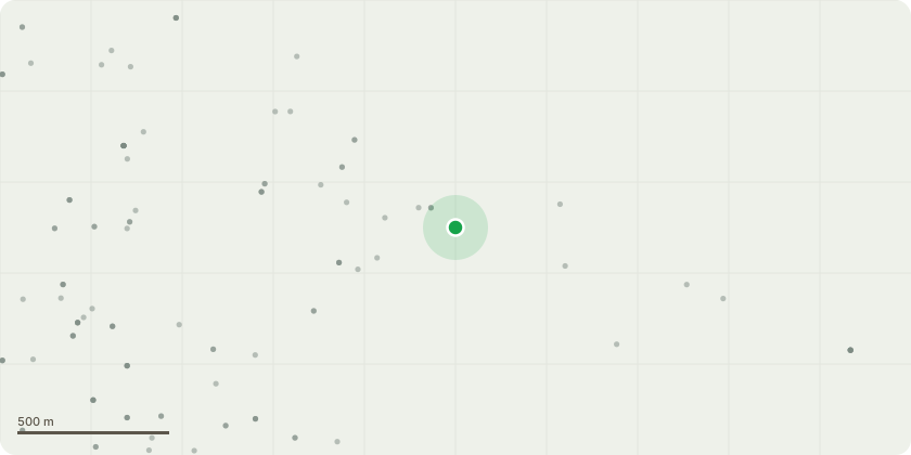
Approximate location
Proposal
Robinia pseudoacacia (URN 12555, URN 13960, URN 17365, URN 17367, URN 17378) - Crown lift and remove epicormic growth to 3m from ground level. Tilia platyphyllos (URN 13897, URN 13898, URN 13900, URN 13901, URN 13902, URN 13903, URN 13904, URN 13905, URN 13906, URN 13907, URN 13908, URN 13909, URN 13910, URN 13911, URN 13912, URN 13913, URN 13914, URN 13915, URN 13916, URN 13917, URN 13918, URN 13941, URN 13942, URN 13944,URN 13945, URN 13945, URN 13946, URN 13946, URN 13947, URN 13947, URN 13948, URN 13948, URN 16664) Crown lift and remove epicormic growth to 3m from ground level. Tilia x europaea (URN 14831, URN 14843, URN 15105, URN 15106, URN 15107, URN 15108, URN 15109, URN 15110, URN 15111, URN 15112, URN 16665, URN 16666, URN 16667, URN 16668, URN 16669, URN 16670, URN 16912, URN 16913, URN 16914, URN 16916, URN 16917, URN 16918, URN 16920, URN 16943, URN 17361, URN 17362, URN 17366, URN 17368, URN 17370, URN 17371, URN 17372, URN 17376, URN 17390, URN 17408, URN 17409, URN 17413, URN 17416, URN 17418, URN 17427, URN 17428, URN 17429, URN 17430, URN 17431, URN 17432, URN 17433, URN 17434, URN 17435, URN 17436, URN 17437, URN 17438, URN 17439, URN 17440, URN 17441, URN 17442, URN 17443, URN 17444, URN 17445, URN 17446, URN 17447, URN 17448, URN 17449, URN 17450, URN 17451, URN 17452, URN 17453, URN 17454, URN 17455) - Crown lift and remove epicormic growth to 3m from ground level.
Key dates
- Received 9 Aug 2024
- Validated 9 Aug 2024
- Started 9 Aug 2024
- Decided 16 Sept 2024
Planning history / related applications
No related planning applications have been identified in the current public OGL dataset.
Inside plotEdge
Go beyond the public record
This page is the public OGL record. plotEdge adds the private intelligence layer for this site - open it in the app to unlock:
- Ownership & title Registered owner and title from HM Land Registry.
- Viability & build potential Site scoring and development upside.
- Constraints Flood risk, green belt, conservation areas and designations.
- Approval signal Planning risk and approval-likelihood analysis.
- Comparable applications Decisions on similar nearby sites, side by side.
- Status alerts Get notified the moment this application changes.
Source: public planning application data from Medway, reused under the Open Government Licence v3.0. View the council source record. Council documents and drawings are not republished on plotEdge.