Manchester
Manchester/144743/NMC/2025
Site Bound By The Boulevard, The Avenue, Didsbury High School And Existing Properties On Clearwater Drive Manchester
- Reference
- Manchester/144743/NMC/2025
- Authority
- Manchester
- Application type
- Non-Material Amendment
- Address
- Site Bound By The Boulevard, The Avenue, Didsbury High School And Existing Properties On Clearwater Drive Manchester
- Status
- Final
- Source council
- Manchester
- Council source record
- View public record
- Public data licence
- Open Government Licence v3.0
- Record updated
- 6 Aug 2026
- SEO index generated
- 7 Aug 2026
Location
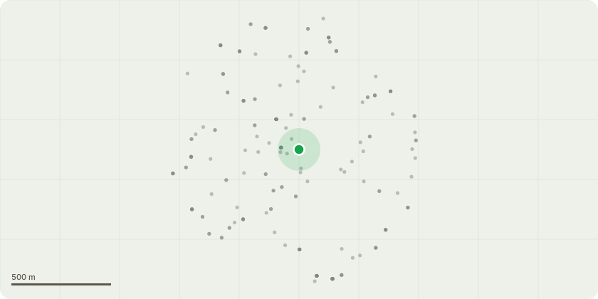
Approximate location
Proposal
Non-Material Amendment application to Planning Approval reference 143227/JO/2025 to allow: amendments to window arrangement; inclusion of areas of obscure glazing to ground floor medical centre; relocation of bin store and removal of door; addition of privacy screens between and duplexes at terrace level; joints to double height windows with perforated panel added; medical centre entrance/exit altered; increased spandrel height to full height curtain wall; windows to stair core replaced with opaque glazed; louvres above windows removed; curtain wall narrowed with addition of side panel; security parking barrier added; gate to east boundary moved towards northern elevation building edge; alteration to proposed perforation pattern; replacement of glazing with a solid panel; additional double doorset; no. of PV panels altered; duplex apartment reduction in area; additional medical centre louvres added; omission of pedestrian gate; changes to roof arrangement; and update to car park mullion design.
Planning history / related applications
No related planning applications have been identified in the current public OGL dataset.
Inside plotEdge
Go beyond the public record
This page is the public OGL record. plotEdge adds the private intelligence layer for this site - open it in the app to unlock:
- Ownership & title Registered owner and title from HM Land Registry.
- Viability & build potential Site scoring and development upside.
- Constraints Flood risk, green belt, conservation areas and designations.
- Approval signal Planning risk and approval-likelihood analysis.
- Comparable applications Decisions on similar nearby sites, side by side.
- Status alerts Get notified the moment this application changes.
Source: public planning application data from Manchester, reused under the Open Government Licence v3.0. View the council source record. Council documents and drawings are not republished on plotEdge.