Lewisham
Lewisham/DC/26/145120
45A DEVONSHIRE ROAD, LONDON, SE23 3EN
- Reference
- Lewisham/DC/26/145120
- Authority
- Lewisham
- Address
- 45A DEVONSHIRE ROAD, LONDON, SE23 3EN
- Postcode
- SE23 3EN
- Status
- Registered
- Received
- 20 Aug 2026
- Started
- 20 Aug 2026
- Source council
- Lewisham
- Council source record
- View public record
- Public data licence
- Open Government Licence v3.0
- Record updated
- 27 Aug 2026
- SEO index generated
- 28 Aug 2026
Location
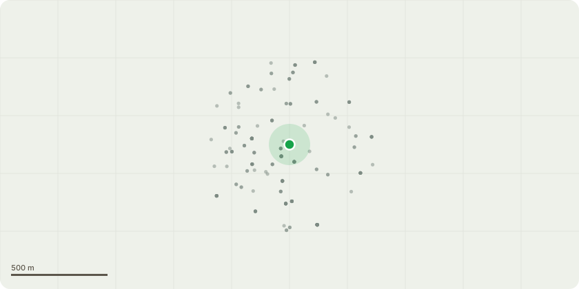
Approximate location
Proposal
FRONT: ONE False Acacia tree (T2) Ht 10m FELL to ground level and treat stump with eco plugs (broadleaved). REASON: Proposed as a remedy to the differential foundation movement at the insured property and to ensure the long-term stability of the building. The above tree works are proposed to limit the extent and need for expensive and disruptive engineering repair works at the insured propertyIt is the case that an alternative to felling such as pruning or significant 'pollarding' of the tree would not provide a reliable or sustainable remedy to the subsidence in this case. We do not consider that any other potential means of mitigation, including root barriers, would be effective or appropriate in the circumstances. We are satisfied that the evidence obtained following completion of our Arboricultural Implication Assessment report completed 31/01/2024 clearly links the Lime T1 and False Acacia T2 as the cause of damage to the risk address. REPLANTING: Insurers understanding the requirement to offer replacement planting in the event consent to fell is granted.45 DEVONSHIRE ROAD TREE PRESERVATION ORDER DC/24/136999
Key dates
- Received 20 Aug 2026
- Started 20 Aug 2026
Planning history / related applications
No related planning applications have been identified in the current public OGL dataset.
Inside plotEdge
Go beyond the public record
This page is the public OGL record. plotEdge adds the private intelligence layer for this site - open it in the app to unlock:
- Ownership & title Registered owner and title from HM Land Registry.
- Viability & build potential Site scoring and development upside.
- Constraints Flood risk, green belt, conservation areas and designations.
- Approval signal Planning risk and approval-likelihood analysis.
- Comparable applications Decisions on similar nearby sites, side by side.
- Status alerts Get notified the moment this application changes.
Source: public planning application data from Lewisham, reused under the Open Government Licence v3.0. View the council source record. Council documents and drawings are not republished on plotEdge.