Lewisham
Lewisham/DC/26/144113
MERETON MANSIONS, BROOKMILL ROAD, LONDON, SE8 4HS
- Reference
- Lewisham/DC/26/144113
- Authority
- Lewisham
- Address
- MERETON MANSIONS, BROOKMILL ROAD, LONDON, SE8 4HS
- Postcode
- SE8 4HS
- Status
- Unknown
- Decision
- Raise No Objection
- Received
- 22 May 2026
- Validated
- 22 Jul 2026
- Started
- 22 Jul 2026
- Decided
- 3 Aug 2026
- Source council
- Lewisham
- Council source record
- View public record
- Public data licence
- Open Government Licence v3.0
- Record updated
- 4 Aug 2026
- SEO index generated
- 5 Aug 2026
Location
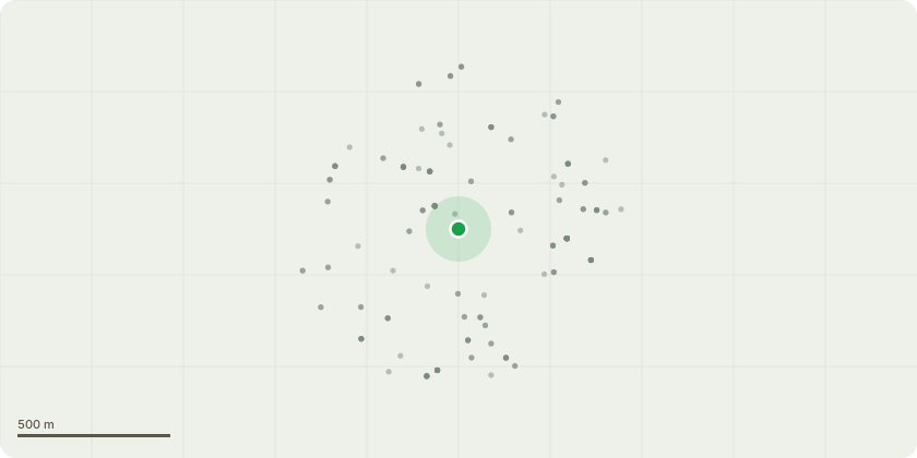
Approximate location
Proposal
FRONT: FIVE: Acer tree (T1-T5) CROWN REDUCTION by 2m from 10m to 8m. SPREAD by 4m from 6m to 2m.REASONS: Routine maintenance and repeat pruning for the health and safety of the trees and to provide light to surrounding gardens.FRONT: THREE: Acer tree (T6,T7,T9) CROWN REDUCTION by 2m from 9m to 7m. CROWN REDUCTION by 3m from 5m to 2m.REASONS: Routine maintenance and repeat pruning for the health and safety of the trees and to provide light to surrounding gardens.FRONT: ONE: Acer tree (T8) CROWN REDUCTION by 2m from 9m to 7m. SPREAD by 3m from 6m to 3m.REASONS: Routine maintenance and repeat pruning for the health and safety of the trees and to provide light to surrounding gardens.REAR: ONE: Acer tree (T10) CROWN REDUCTION by 2m from 12m to 10m. SPREAD 4m from 8m to 4mREASONS: Routine maintenance and repeat pruning for the health and safety of the trees and to provide light to surrounding gardens.REAR: TWO: Acer tree (T11,T12) CROWN REDUCTION by 2m from 12m to 10m. SPREAD by 3m from 5m to 2mREASONS: Routine maintenance and repeat pruning for the health and safety of the trees and to provide light to surrounding gardens.REAR: ONE: Hawthorn (T13) HEIGHT 6.5m. CROWN LIFT to 2.5m above ground level.REASON: Formative pruningREAR: ONE: Crab Apple tree (T14) HEIGHT 7m. FELL to ground level.Reason: tree in rapid decline, dying.REAR: ONE: Acer tree (T15) HEIGHT 14m. FELL to ground levelREASON: Tree unable to establish long term, stable lean, asymmetrical crown, suppressed by adj T16, close to property, overhanging adj gardens.REAR: ONE: Acer tree (T16) CROWN LIFT to 3m above ground level. LATERAL REDUCTION by 2m from 10m to 8m at N Compass Point.REASON: Routine maintenance to protect and provide light to neighbouring property.REAR: ONE: Acer tree (T17) CROWN LIFT to 3m above ground level. LATERAL REDUCTION by 2m from 10 to 8m. at N Compass point.REASON: Routine maintenance to protect and provide light to neighbouring property.Note: T5-T9 are outside the Deptford High Street & St Pauls conservation area boundaryInformative A: replacement tree planting is encouraged where suitable within the Mereton Mansions site, to maintain tree amenity & urban greening. Informative B: huge thanks for maintaining and retaining the other trees for treed character amenity, wellbeing, wildlife, rainwater run-off mitigation and shade to reduce increasingly high and frequent heatwaves due to climate change. Informative C: please create habitat log piles with arisings for wildlife and biodiversity.
Key dates
- Received 22 May 2026
- Validated 22 Jul 2026
- Started 22 Jul 2026
- Decided 3 Aug 2026
Planning history / related applications
No related planning applications have been identified in the current public OGL dataset.
Inside plotEdge
Go beyond the public record
This page is the public OGL record. plotEdge adds the private intelligence layer for this site - open it in the app to unlock:
- Ownership & title Registered owner and title from HM Land Registry.
- Viability & build potential Site scoring and development upside.
- Constraints Flood risk, green belt, conservation areas and designations.
- Approval signal Planning risk and approval-likelihood analysis.
- Comparable applications Decisions on similar nearby sites, side by side.
- Status alerts Get notified the moment this application changes.
Source: public planning application data from Lewisham, reused under the Open Government Licence v3.0. View the council source record. Council documents and drawings are not republished on plotEdge.