Lewisham
Lewisham/DC/26/142695
CROWN AND NEW BALTIC, PARK AND BRIDGE AND VICTORIA WHARVES, BOUNDED BY GROVE STREET, DRAGOON STREET AND EVELYN STREET, OXESTALLS ROAD, LONDON, SE8
- Reference
- Lewisham/DC/26/142695
- Authority
- Lewisham
- Address
- CROWN AND NEW BALTIC, PARK AND BRIDGE AND VICTORIA WHARVES, BOUNDED BY GROVE STREET, DRAGOON STREET AND EVELYN STREET, OXESTALLS ROAD, LONDON, SE8
- Status
- Registered
- Received
- 16 Jan 2026
- Started
- 16 Jan 2026
- Source council
- Lewisham
- Council source record
- View public record
- Public data licence
- Open Government Licence v3.0
- Record updated
- 6 Aug 2026
- SEO index generated
- 7 Aug 2026
Location
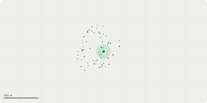
Approximate location
Proposal
An application submitted under Section 96a of the Town & Country Planning Act 1990 for a non-material amendment to planning permission ref: DC/19/110414 (dated 20 March 2019) for the approval of Reserved Matters for Plot 6 consisting of Blocks 6A, 6B and 6C (part Phase 3) facing Oxestalls Road and Grove Street, as amended by permission ref: DC/22/125291 (dated 22 February 2023). The application seeks to make the following amendments:Re-locating some approved cycle parking from Block C to Block A through the loss of the residents' lounge, which would be adapted for cycle storage with semi-opaque privacy film to glass. The overall cycle parking provision for Plot 6 would be retained.Addition and installation of a canopy over the ground-floor duplex entrance to Block C on the east elevationUpdates to plant area door formats on Blocks B and C (north, south and east elevations)Update to the main entrance door to meet manufacturer requirementsIntroduction of access gates to Block C ground-floor terraces on the west elevation
Key dates
- Received 16 Jan 2026
- Started 16 Jan 2026
Planning history / related applications
No related planning applications have been identified in the current public OGL dataset.
Inside plotEdge
Go beyond the public record
This page is the public OGL record. plotEdge adds the private intelligence layer for this site - open it in the app to unlock:
- Ownership & title Registered owner and title from HM Land Registry.
- Viability & build potential Site scoring and development upside.
- Constraints Flood risk, green belt, conservation areas and designations.
- Approval signal Planning risk and approval-likelihood analysis.
- Comparable applications Decisions on similar nearby sites, side by side.
- Status alerts Get notified the moment this application changes.
Source: public planning application data from Lewisham, reused under the Open Government Licence v3.0. View the council source record. Council documents and drawings are not republished on plotEdge.