Lewisham
Lewisham/DC/25/141834
CROWN AND NEW BALTIC, PARK AND BRIDGE AND VICTORIA WHARVES, BOUNDED BY GROVE STREET, DRAGOON STREET AND EVELYN STREET, OXESTALLS ROAD, LONDON, SE8
- Reference
- Lewisham/DC/25/141834
- Authority
- Lewisham
- Address
- CROWN AND NEW BALTIC, PARK AND BRIDGE AND VICTORIA WHARVES, BOUNDED BY GROVE STREET, DRAGOON STREET AND EVELYN STREET, OXESTALLS ROAD, LONDON, SE8
- Status
- Decided
- Decision
- Granted
- Received
- 16 Oct 2025
- Validated
- 17 Oct 2025
- Started
- 17 Oct 2025
- Decided
- 21 Jan 2026
- Source council
- Lewisham
- Council source record
- View public record
- Public data licence
- Open Government Licence v3.0
- Record updated
- 6 Aug 2026
- SEO index generated
- 7 Aug 2026
Location
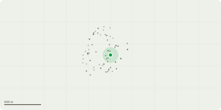
Approximate location
Proposal
An application submitted under Section 96a of the Town & Country Planning Act 1990 for a non-material amendment in connection with the planning permission (DC/19/119414) dated 23 January 2019, for the variation of Condition (3) Surrey Canal Park (Waterline Park) Placemaking Strategy and Detailed design of Oxestalls Bridge Underpass Arrival Spacein order to allow:- the phased delivery of the Waterline Way (north) Park and Oxestalls Bridge Underpass Arrival Space, including the provision of temporary landscaping, until after Plot 5 had been constructed at Plots 5/6 Crown, New Baltic Park, Bridge And Victoria Wharves, Bounded By Grove, Dragoon And Evelyn Streets Together With, Oxestalls Road, SE8, Renamed as Deptford Landings - formerly known as Deptford Wharves, then The Timberyard SE8.
Key dates
- Received 16 Oct 2025
- Validated 17 Oct 2025
- Started 17 Oct 2025
- Decided 21 Jan 2026
Planning history / related applications
No related planning applications have been identified in the current public OGL dataset.
Inside plotEdge
Go beyond the public record
This page is the public OGL record. plotEdge adds the private intelligence layer for this site - open it in the app to unlock:
- Ownership & title Registered owner and title from HM Land Registry.
- Viability & build potential Site scoring and development upside.
- Constraints Flood risk, green belt, conservation areas and designations.
- Approval signal Planning risk and approval-likelihood analysis.
- Comparable applications Decisions on similar nearby sites, side by side.
- Status alerts Get notified the moment this application changes.
Source: public planning application data from Lewisham, reused under the Open Government Licence v3.0. View the council source record. Council documents and drawings are not republished on plotEdge.