Lewisham
Lewisham/DC/24/138363
GOLDSMITHS COLLEGE - LEWISHAM WAY CAMPUS, LEWISHAM WAY, LONDON, SE14
- Reference
- Lewisham/DC/24/138363
- Authority
- Lewisham
- Address
- GOLDSMITHS COLLEGE - LEWISHAM WAY CAMPUS, LEWISHAM WAY, LONDON, SE14
- Status
- Unknown
- Decision
- Granted
- Received
- 3 Dec 2024
- Validated
- 16 Dec 2024
- Started
- 16 Dec 2024
- Decided
- 16 Mar 2025
- Source council
- Lewisham
- Council source record
- View public record
- Public data licence
- Open Government Licence v3.0
- Record updated
- 6 Aug 2026
- SEO index generated
- 7 Aug 2026
Location
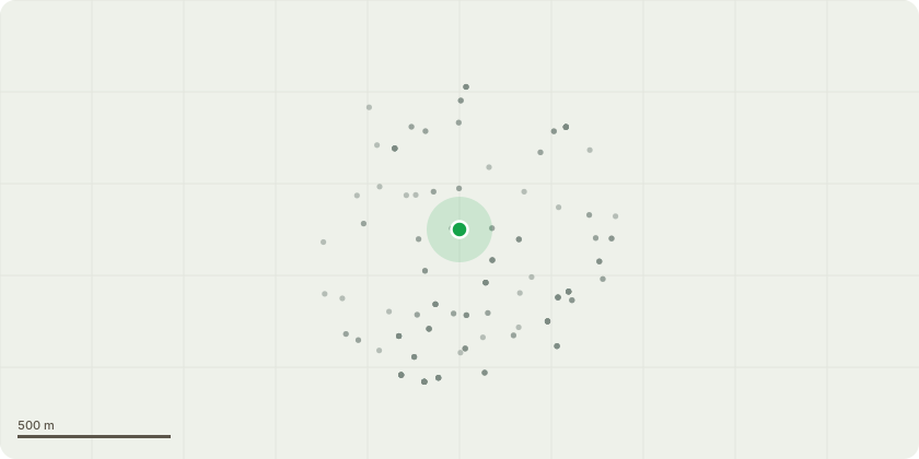
Approximate location
Proposal
REAR SIDE (Lockwood Design Building): ONE London Plane (TPO T1)(approx.ht.28m) CROWN REDUCE HEIGHT by 2.5-3m from 28m to 25m, REDUCE RADIUS by 3m from 25m to 22m on all compass points, CROWN LIFT to 8-10m above ground level, as indicated in annotated photograph in applicant's email 11 March 2025, remove deadwood. Reason: Stress due to weighted growth, clearance to buildings, dead branches.The London Borough of Lewisham, Goldsmiths College, Lewisham Way, SE14. Tree Preservation Order 2007.Informative A: the sensitive crown reduction works are greatly appreciated to maintain the tree's contribution to the landscape amenity and setting of the Grade II listed Richard Hoggart Building and the College Green, and it is likely to be an original tree from 1843 when the building was constructed. Informative B: existing dimensions of London Plane (TPO T1) are taken from MWA Arboricultural Report 12/08/2022 (ref planning DC/22/128985).Informative C: please create habitat log piles with some arisings for wildlife and biodiversity.
Key dates
- Received 3 Dec 2024
- Validated 16 Dec 2024
- Started 16 Dec 2024
- Decided 16 Mar 2025
Planning history / related applications
No related planning applications have been identified in the current public OGL dataset.
Inside plotEdge
Go beyond the public record
This page is the public OGL record. plotEdge adds the private intelligence layer for this site - open it in the app to unlock:
- Ownership & title Registered owner and title from HM Land Registry.
- Viability & build potential Site scoring and development upside.
- Constraints Flood risk, green belt, conservation areas and designations.
- Approval signal Planning risk and approval-likelihood analysis.
- Comparable applications Decisions on similar nearby sites, side by side.
- Status alerts Get notified the moment this application changes.
Source: public planning application data from Lewisham, reused under the Open Government Licence v3.0. View the council source record. Council documents and drawings are not republished on plotEdge.