Leeds
Leeds/26/9/00116/MOD
Central Square 29 Wellington Street Leeds LS1 4DL
- Reference
- Leeds/26/9/00116/MOD
- Authority
- Leeds
- Application type
- MOD
- Address
- Central Square 29 Wellington Street Leeds LS1 4DL
- Postcode
- LS1 4DL
- Status
- Current
- Received
- 13 Jul 2026
- Validated
- 13 Jul 2026
- Started
- 13 Jul 2026
- Source council
- Leeds
- Council source record
- View public record
- Public data licence
- Open Government Licence v3.0
- Record updated
- 30 Jul 2026
- SEO index generated
- 20 Oct 2026
Location
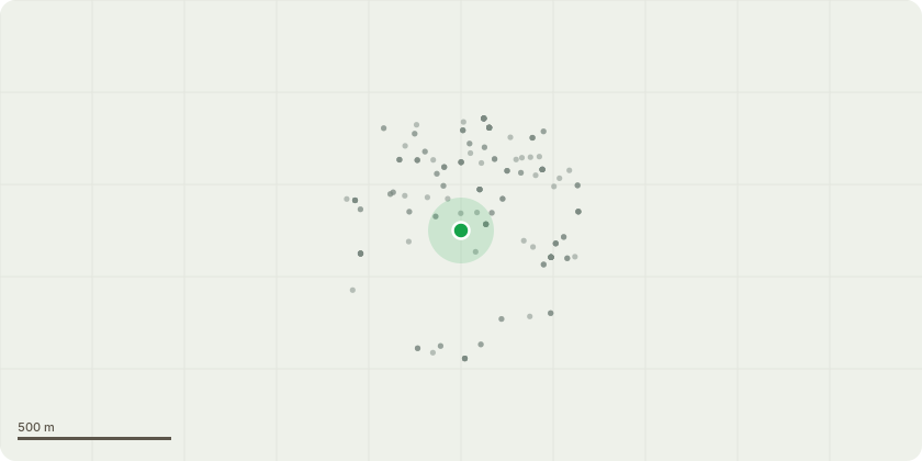
Approximate location
Proposal
Installation of furniture and planting to create external amenity space NON MATERIAL AMENDMENT to 18/05881/FU The amendments relate to minor adjustments to the approved ground-floor corner unit glazing and door arrangement, and modest refinements to the existing roof-terrace layout.At ground level, the proposal updates the door and fixed-glazing configuration to match the existing curtain-wall system more closely and improve operational functionality.At roof level, the proposal introduces a lightweight retractable canopy and form an internal lounge within the established terrace area, along with access and screening adjustments to support usability and weather protection.All works sit entirely within the existing built form, do not increase the building footprint or height, and maintain the approved architectural language and materials.
Key dates
- Received 13 Jul 2026
- Validated 13 Jul 2026
- Started 13 Jul 2026
Planning history / related applications
No related planning applications have been identified in the current public OGL dataset.
Inside plotEdge
Go beyond the public record
This page is the public OGL record. plotEdge adds the private intelligence layer for this site - open it in the app to unlock:
- Ownership & title Registered owner and title from HM Land Registry.
- Viability & build potential Site scoring and development upside.
- Constraints Flood risk, green belt, conservation areas and designations.
- Approval signal Planning risk and approval-likelihood analysis.
- Comparable applications Decisions on similar nearby sites, side by side.
- Status alerts Get notified the moment this application changes.
Source: public planning application data from Leeds, reused under the Open Government Licence v3.0. View the council source record. Council documents and drawings are not republished on plotEdge.