Leeds
Leeds/26/9/00094/MOD
Land Adjacent To Kirkstall Lane Kirkstall Leeds LS5 3BS
- Reference
- Leeds/26/9/00094/MOD
- Authority
- Leeds
- Application type
- MOD
- Address
- Land Adjacent To Kirkstall Lane Kirkstall Leeds LS5 3BS
- Postcode
- LS5 3BS
- Status
- Decided
- Decision
- Non Material Amendment Approved
- Received
- 21 May 2026
- Validated
- 21 May 2026
- Started
- 21 May 2026
- Decided
- 25 Jun 2026
- Source council
- Leeds
- Council source record
- View public record
- Public data licence
- Open Government Licence v3.0
- Record updated
- 11 Aug 2026
- SEO index generated
- 12 Aug 2026
Location
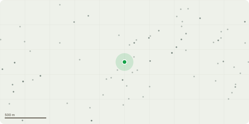
Approximate location
Proposal
Demolition of existing buildings and structures and redevelopment of the site for a mixed-use development comprising up to 263 residential units (Use Class C3) and flexible commercial floorspace (Use Class A1, A2 or B1a); together with associated vehicular access, car and cycle parking spaces, bin stores, plant, landscaping, amenity space and associated infrastructure and engineering works. NON MATERIAL AMENDMENT to 19/01666/FU Block A As part of the design development for this block, a number of minor adjustments have been made to improve the constructability, compliance, and efficiency of the building. These are as follows: Surplus windows in stair cores, Minor adjustments to ventilation louvre openings on side walls, Air Source Heat Pump positions adjusted to facilitate installation and maintenance. Courtyard garden access arrangements adjusted to simplify. Some minor Internal layout adjustments. Block B As part of the design development for this block which needs to comply with the newer building regulations on ventilation and overheating, Surplus windows in stair core, Window sizes - to avoid problems with overheating, Minor adjustments to ridge & gutter line to facilitate roof construction and incorporate lift shaft detailing, avoiding awkward protrusion, and simplifying construction. Air Source Heat pump locations adjusted to allow for installation and servicing access.
Key dates
- Received 21 May 2026
- Validated 21 May 2026
- Started 21 May 2026
- Decided 25 Jun 2026
Planning history / related applications
No related planning applications have been identified in the current public OGL dataset.
Inside plotEdge
Go beyond the public record
This page is the public OGL record. plotEdge adds the private intelligence layer for this site - open it in the app to unlock:
- Ownership & title Registered owner and title from HM Land Registry.
- Viability & build potential Site scoring and development upside.
- Constraints Flood risk, green belt, conservation areas and designations.
- Approval signal Planning risk and approval-likelihood analysis.
- Comparable applications Decisions on similar nearby sites, side by side.
- Status alerts Get notified the moment this application changes.
Source: public planning application data from Leeds, reused under the Open Government Licence v3.0. View the council source record. Council documents and drawings are not republished on plotEdge.